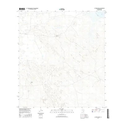
2016 Map of La Parra Ranch
USGS Topo · Published 2016About this map
La Parra Ranch occupies a central role in this landscape of southern Texas, situated within a vast expanse of coastal plains and depressions. The presence of La Parra Ave provides a structured axis through the terrain, suggesting the ranch's significance to local transportation and land management during the mid-2010s. In the northeast corner, the waters of Baffin Bay meet the shoreline, reflecting the maritime influence on this part of Kenedy County. The topography is defined by subtle elevation changes and sandy features, punctuated by named landforms such as Alto de la Cruz. This map documents a period where large-scale ranching operations remained the dominant footprint on the land, preserving the character of a region where open space and natural hydrography dictate the settlement pattern.
Find a feature on this map
4 named features on this map. Tap any name to fly to it.
Don’t see what you’re looking for? This feature index may not catch every label — zoom into the map to look around manually.
Map Details
Editions of this 2016 La Parra Ranch Map
This is the sole edition of this map. No revisions or reprints were ever made.
Other maps of this area

1928 · Sarita
USGS Topo · 1:125,000

1950 · Corpus Christi
USGS Topo · 1:250,000

1951 · Kleberg Point
USGS Topo · 1:24,000

1951 · Sarita 4 NE
USGS Topo · 1:24,000

1952 · Riviera Beach
USGS Topo · 1:24,000

1952 · La Parra Ranch
USGS Topo · 1:24,000

1952 · Sarita 4 SE
USGS Topo · 1:24,000

1952 · Riviera Beach
USGS Topo · 1:62,500

1954 · La Parra Ranch SW
USGS Topo · 1:24,000

1954 · Sarita
USGS Topo · 1:62,500