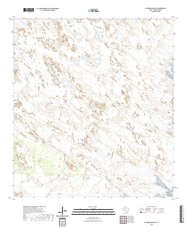
2022 Map of La Parra Ranch SE
USGS Topo · Published 2022About this map
Santa Elena Trap sits within the expansive ranching landscape of Kenedy County, a region characterized by sparse settlement and a complex network of intermittent wetlands and sandy terrain. This 2022 survey, produced by the U.S. Geological Survey, illustrates the specialized infrastructure of South Texas cattle operations, where specific pens and enclosures are identified by name. The southern edge of the quadrangle is traversed by Gulf Wind Rd, one of the few named transportation corridors through this private ranching country. The map provides a high-resolution view of the local topography and hydrography, showing how livestock management is adapted to the subtle elevations and drainage patterns unique to the coastal plains.
Find a feature on this map
2 named features on this map. Tap any name to fly to it.
Don’t see what you’re looking for? This feature index may not catch every label — zoom into the map to look around manually.
Map Details
Editions of this 2022 La Parra Ranch SE Map
This is the sole edition of this map. No revisions or reprints were ever made.
Other maps of this area

1923 · Lopena Island
USGS Topo · 1:62,500

1923 · Saltillo Ranch
USGS Topo · 1:62,500

1928 · Sarita
USGS Topo · 1:125,000

1950 · Corpus Christi
USGS Topo · 1:250,000

1951 · Potrero Lopeno NW
USGS Topo · 1:24,000

1951 · Sarita 4 NE
USGS Topo · 1:24,000

1952 · Potrero Cortado
USGS Topo · 1:24,000

1952 · La Parra Ranch
USGS Topo · 1:24,000

1952 · Yarborough Pass
USGS Topo · 1:24,000

1952 · Sarita 4 SE
USGS Topo · 1:24,000