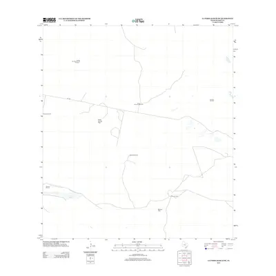
2013 Map of La Parra Ranch SW
USGS Topo · Published 2013About this map
Ranching infrastructure and energy exploration define this coastal bend landscape in Kenedy County. The area is characterized by a network of windmills and traps essential for livestock management in the arid South Texas environment, including the Fernades Windmill, Motaralla Windmill, and Marcello Windmill. These scattered water points and enclosures like the Padre Juanito Trap or Marana Trap illustrate the logistics of large-scale cattle operations.
Find a feature on this map
11 named features on this map. Tap any name to fly to it.
Don’t see what you’re looking for? This feature index may not catch every label — zoom into the map to look around manually.
Map Details
Editions of this 2013 La Parra Ranch SW Map
This is the sole edition of this map. No revisions or reprints were ever made.
Other maps of this area

1923 · Armstrong
USGS Topo · 1:62,500

1923 · Saltillo Ranch
USGS Topo · 1:62,500

1928 · Sarita
USGS Topo · 1:125,000

1950 · Corpus Christi
USGS Topo · 1:250,000

1951 · Sarita 4 NE
USGS Topo · 1:24,000

1952 · La Parra Ranch
USGS Topo · 1:24,000

1952 · Sarita 4 SE
USGS Topo · 1:24,000

1953 · Brownsville
USGS Topo · 1:250,000

1954 · La Parra Ranch SW
USGS Topo · 1:24,000

1954 · Sarita
USGS Topo · 1:62,500