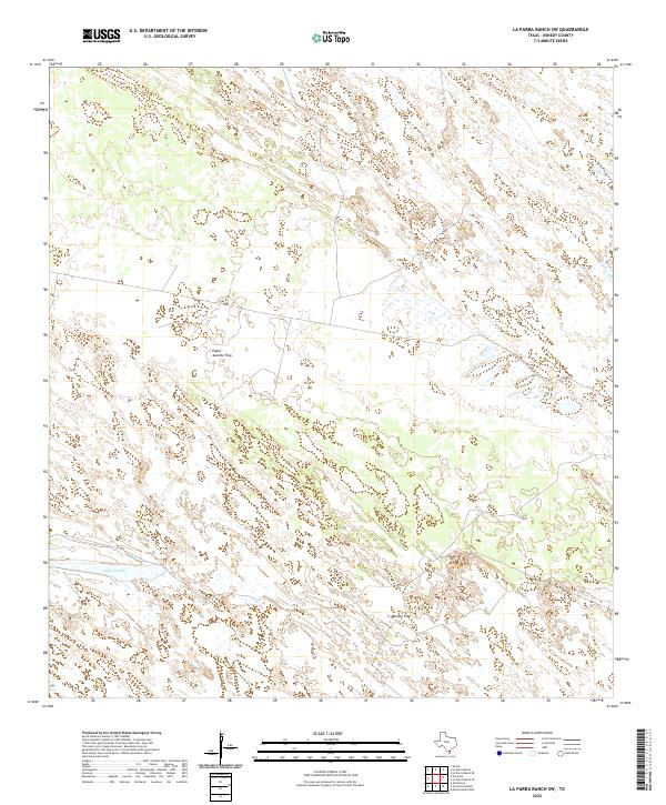
2022 Map of La Parra Ranch SW
USGS Topo · Published 2022About this map
Cayo Grande cuts through the southwest corner of this coastal ranchland, defining a landscape of low-lying wetlands and complex topography in South Texas. This specific section of Kenedy County is characterized by a sparse settlement pattern tied to large-scale ranching operations, visible in the distinct working locations of Padre Juanito Trap and Marana Trap. The map provides a detailed look at the intricate hydrography and terrain of the Texas coastal plain before the influence of denser development, showing the natural drainage and land divisions essential to the region's historical agricultural identity.
Find a feature on this map
3 named features on this map. Tap any name to fly to it.
Don’t see what you’re looking for? This feature index may not catch every label — zoom into the map to look around manually.
Map Details
Editions of this 2022 La Parra Ranch SW Map
This is the sole edition of this map. No revisions or reprints were ever made.
Other maps of this area

1923 · Armstrong
USGS Topo · 1:62,500

1923 · Saltillo Ranch
USGS Topo · 1:62,500

1928 · Sarita
USGS Topo · 1:125,000

1950 · Corpus Christi
USGS Topo · 1:250,000

1951 · Sarita 4 NE
USGS Topo · 1:24,000

1952 · La Parra Ranch
USGS Topo · 1:24,000

1952 · Sarita 4 SE
USGS Topo · 1:24,000

1953 · Brownsville
USGS Topo · 1:250,000

1954 · La Parra Ranch SW
USGS Topo · 1:24,000

1954 · Sarita
USGS Topo · 1:62,500