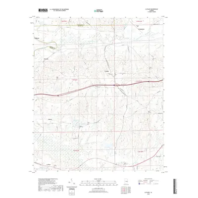
2018 Map of La Place
USGS Topo · Published 2018About this map
Tuskegee and the surrounding rural landscapes of Macon County are defined by a network of creeks and several longstanding family and community burial grounds. The terrain is bisected by Chewacla Creek and Calebee Cr, which flow through a region punctuated by small settlements like Franklin, Shorter, and La Place. Genealogists will find a wealth of local history in the numerous mapped cemeteries, including Walker Chapel Cem, Saint John Cem, and Sweet Gum Cem. Near the northern border, the Tallapoosa River forms a natural boundary between Elmore and Macon Counties, while aviation history is represented by Sharpe Field north of the main Tuskegee area. The map illustrates a landscape of agricultural transitions and water management, visible in features such as Lake Carrona Number One and Lake Carrona Number Two.
Find a feature on this map
70 named features on this map. Tap any name to fly to it.
Don’t see what you’re looking for? This feature index may not catch every label — zoom into the map to look around manually.
Map Details
Editions of this 2018 La Place Map
This is the sole edition of this map. No revisions or reprints were ever made.
Other maps of this area

1906 · Dadeville
USGS Topo · 1:125,000

1955 · Phenix City
USGS Topo · 1:250,000

1957 · Phenix City
USGS Topo · 1:250,000

1958 · Phenix City
USGS Topo · 1:250,000

1971 · Carrville
USGS Topo · 1:24,000
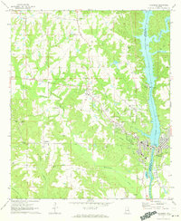
1971 · Tallassee
USGS Topo · 1:24,000

1971 · Tuskegee
USGS Topo · 1:24,000

1971 · Shorter
USGS Topo · 1:24,000
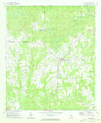
1971 · Notasulga
USGS Topo · 1:24,000

1971 · La Place
USGS Topo · 1:24,000