
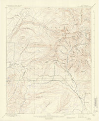
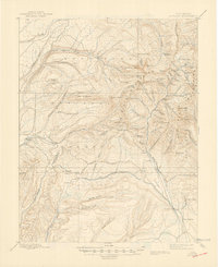
1908 Map of La Plata
USGS Topo · Published 1908About this map
The Rio Grande Southern R. R. winds through the southern reaches of this landscape, connecting the coal and precious metal operations of the high mountains to broader markets. At the dawn of the twentieth century, the economy here is defined by resource extraction, anchored by industrial sites like the Columbus Mine and the Ute Coal Mine. Processing facilities such as the Little Kate Mill and Baker Contact Mill sit tucked within steep basins, while small rail stops like Hesperus and Ute Junction serve as logistical hubs. North of the rail line, the Montezuma National Forest protects a series of high peaks including Hesperus Peak and Sharkstooth. The western portion of the map is dominated by the forks of the Mancos River, providing a stark contrast to the concentrated mining activity found along the La Plata River to the east.
Find a feature on this map
97 named features on this map. Tap any name to fly to it.
Don’t see what you’re looking for? This feature index may not catch every label — zoom into the map to look around manually.
Map Details
Editions of this 1908 La Plata Map
3 editions found
Other maps of this area

1895 · La Plata
USGS Topo · 1:62,500

1897 · La Plata
USGS Topo · 1:62,500

1897 · Rico
USGS Topo · 1:62,500

1898 · Durango
USGS Topo · 1:62,500

1898 · Engineer Mountain
USGS Topo · 1:62,500

1898 · Rico
USGS Topo · 1:62,500

1899 · La Plata
USGS Topo · 1:62,500

1899 · Rico
USGS Topo · 1:62,500

1900 · Engineer Mountain
USGS Topo · 1:62,500

1907 · Durango
USGS Topo · 1:62,500