
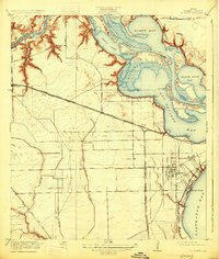
1920 Map of La Porte
USGS Topo · Published 1920About this map
The San Jacinto Battlefield stands as a prominent landmark along the upper reaches of the Houston Ship Channel, marking a landscape where early Texas history meets twentieth-century industrial development. At the time of this 1916 survey, La Porte is established as a central hub near the shores of Galveston Bay, featuring its waterfront Sylvan Beach and a grid of streets that includes Main Street. The area's transit is defined by the Southern Pacific System and the Galveston Harrisburg and San Antonio RR, which connect settlements like Deer Park, Strang, and East La Porte.
Find a feature on this map
46 named features on this map. Tap any name to fly to it.
Don’t see what you’re looking for? This feature index may not catch every label — zoom into the map to look around manually.
Map Details
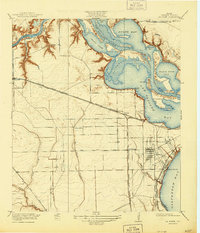
Editions of this 1920 La Porte Map
3 editions found
Other maps of this area

1915 · Deepwater
USGS Topo · 1:24,000

1916 · Genoa
USGS Topo · 1:24,000

1916 · Burnett Bay
USGS Topo · 1:24,000

1916 · Morgan Point
USGS Topo · 1:24,000

1916 · Seabrook
USGS Topo · 1:24,000

1916 · Fauna
USGS Topo · 1:24,000

1916 · Cedar Bayou
USGS Topo · 1:24,000

1916 · La Porte
USGS Topo · 1:24,000

1919 · Morgan Point
USGS Topo · 1:31,680

1919 · Deepwater
USGS Topo · 1:31,680