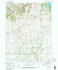
1969 Map of La Porte West
USGS Topo · Published 1988About this map
The glacial landscape west of La Porte is defined by a dense network of kettle lakes and wetlands, including the ecologically significant Pinhook Bog and clusters of water bodies like Swede Lake and Stone Lake. By the late 1960s, the region's transport infrastructure was a complex layering of old and new, where the Indiana East-West Toll Road bypassed established rail lines such as the Penn Central and Norfolk and Western.
Find a feature on this map
44 named features on this map. Tap any name to fly to it.
Don’t see what you’re looking for? This feature index may not catch every label — zoom into the map to look around manually.
Map Details
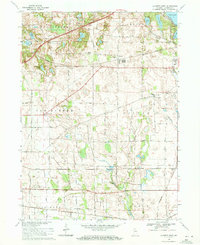
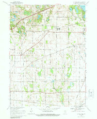
Editions of this 1969 La Porte West Map
3 editions found
Other maps of this area

1953 · Wanatah
USGS Topo · 1:24,000

1953 · Westville
USGS Topo · 1:24,000

1953 · Michigan City West
USGS Topo · 1:24,000

1953 · Chicago
USGS Topo · 1:250,000

1957 · Chicago
USGS Topo · 1:250,000

1958 · Hanna
USGS Topo · 1:24,000

1958 · Kingsford Heights
USGS Topo · 1:24,000

1958 · Michigan City East
USGS Topo · 1:24,000

1958 · La Porte East
USGS Topo · 1:24,000

1958 · Springville
USGS Topo · 1:24,000