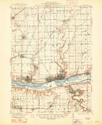
1913 Map of La Salle
USGS Topo · Published 1948About this map
Industrial and transportation networks converge at the bend of the Illinois River, where the cities of La Salle and Peru serve as a major regional hub. This 1913 edition, with cultural revisions through the late 1940s, reveals a landscape defined by an incredibly dense web of rail lines, including the Chicago Rock Island and Pacific RR and the Illinois Central RR, which supported the area's coal mining and manufacturing base. To the south, the Vermilion River carves through the terrain toward Oglesby, passing geological landmarks like Split Rock and the early boundaries of Deer Park and Matthiessen Park.
Find a feature on this map
72 named features on this map. Tap any name to fly to it.
Don’t see what you’re looking for? This feature index may not catch every label — zoom into the map to look around manually.
Map Details
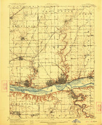
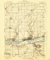
Editions of this 1913 La Salle Map
4 editions found
Other maps of this area

1892 · Ottawa
USGS Topo · 1:62,500

1893 · Lacon
USGS Topo · 1:62,500

1893 · Hennepin
USGS Topo · 1:62,500

1893 · Lasalle
USGS Topo · 1:62,500

1909 · Hennepin
USGS Topo · 1:62,500

1911 · La Salle
USGS Topo · 1:62,500

1911 · Hennepin
USGS Topo · 1:62,500

1913 · La Salle
USGS Topo · 1:62,500

1915 · Ottawa
USGS Topo · 1:62,500

1925 · Streator
USGS Topo · 1:62,500