
1913 Map of La Salle
USGS Topo · Published 1913About this map
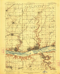
The industrial corridor of the upper Illinois River dominates this 1913 survey, where a dense network of railroads and the historic Illinois and Michigan Canal meet the growing river towns. Industrial centers like La Salle, Peru, and Oglesby are shown in significant detail, alongside the academic landmark of St Bedes College and the recreation grounds at Webster Park. The map reveals the intricate transport web of the era, including the Streator and Walnut Branch RR and the Chicago Milwaukee and St Paul RR, which connected coal-mining settlements and agricultural outposts across the prairie.
Find a feature on this map
73 named features on this map. Tap any name to fly to it.
Don’t see what you’re looking for? This feature index may not catch every label — zoom into the map to look around manually.
Map Details
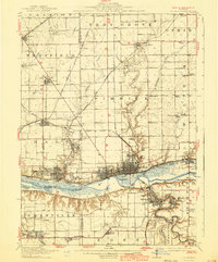
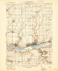
Editions of this 1913 La Salle Map
4 editions found
Other maps of this area

1892 · Ottawa
USGS Topo · 1:62,500

1893 · Lacon
USGS Topo · 1:62,500

1893 · Hennepin
USGS Topo · 1:62,500

1893 · Lasalle
USGS Topo · 1:62,500

1909 · Hennepin
USGS Topo · 1:62,500

1911 · La Salle
USGS Topo · 1:62,500

1911 · Hennepin
USGS Topo · 1:62,500

1915 · Ottawa
USGS Topo · 1:62,500

1925 · Streator
USGS Topo · 1:62,500

1927 · Streator
USGS Topo · 1:62,500