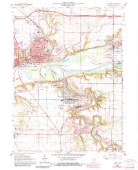
1966 Map of La Salle
USGS Topo · Published 1980About this map
The industrial and recreational heart of the Illinois River valley is captured here, centered on the adjacent cities of Peru and La Salle. By the mid-1960s, this area served as a critical nexus for transportation and heavy industry, evidenced by the dense network of rail lines including the Chicago Rock Island and Pacific and the Illinois Central Gulf. The map records the local social fabric through numerous educational and religious institutions, from La Salle-Peru-Oglesby Jr College to the Claretknoll Novitiate.
Find a feature on this map
84 named features on this map. Tap any name to fly to it.
Don’t see what you’re looking for? This feature index may not catch every label — zoom into the map to look around manually.
Map Details
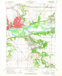
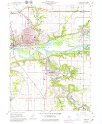
Editions of this 1966 La Salle Map
3 editions found
Other maps of this area

1892 · Ottawa
USGS Topo · 1:62,500

1893 · Lasalle
USGS Topo · 1:62,500

1911 · La Salle
USGS Topo · 1:62,500

1913 · La Salle
USGS Topo · 1:62,500

1915 · Ottawa
USGS Topo · 1:62,500

1925 · Streator
USGS Topo · 1:62,500

1927 · Streator
USGS Topo · 1:62,500

1934 · Wenona
USGS Topo · 1:48,000

1939 · Wenona
USGS Topo · 1:62,500

1946 · Ottawa
USGS Topo · 1:62,500