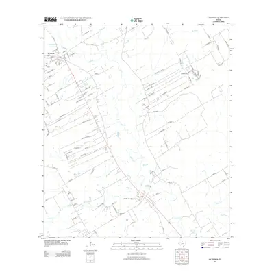
2013 Map of La Vernia
USGS Topo · Published 2013About this map
Cibolo Cr snakes through the center of this Wilson County landscape, serving as a primary geographic anchor for the region. To the northwest, La Vernia stands as a primary residential hub, while Sutherland Springs lies to the south, marked by its proximity to Sulphur Spring and the Sutherland Cem. The map illustrates a transition from the structured residential expansion of Lake Valley Estates Rd and Champions Blvd in the northeast to the industrial extraction sites further south. Subsurface interests are clearly defined by the Linne Oil Field and K Oil Field, highlighting the persistent role of the petroleum industry in the local economy. Water remains a defining feature of the terrain, with smaller tributaries like Gum Br, Alum Cr, and Dry Hollow Cr feeding the larger creek system.
Find a feature on this map
114 named features on this map. Tap any name to fly to it.
Don’t see what you’re looking for? This feature index may not catch every label — zoom into the map to look around manually.
Map Details
Editions of this 2013 La Vernia Map
This is the sole edition of this map. No revisions or reprints were ever made.
Other maps of this area

1920 · Smiley
USGS Topo · 1:125,000

1936 · Floresville
USGS Topo · 1:62,500

1942 · Dewville
USGS Topo · 1:62,500

1953 · Seguin
USGS Topo · 1:250,000

1954 · San Antonio
USGS Topo · 1:250,000

1956 · Dewville
USGS Topo · 1:62,500

1957 · San Antonio
USGS Topo · 1:250,000

1957 · New Berlin
USGS Topo · 1:24,000

1958 · Seguin
USGS Topo · 1:250,000

1958 · La Vernia SW
USGS Topo · 1:24,000