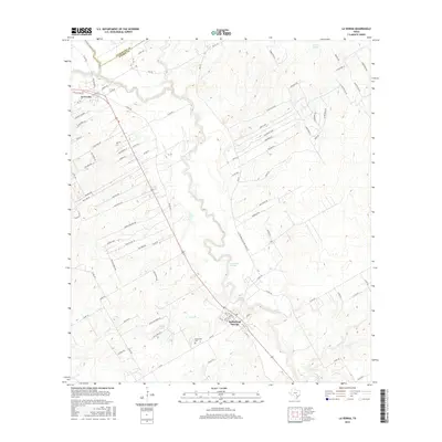
2016 Map of La Vernia
USGS Topo · Published 2016About this map
Cibolo Cr defines the local topography as it flows past the historic settlements of La Vernia and Sutherland Springs. This landscape reflects the agrarian and residential development along the border of Guadalupe Co and Wilson Co. Notable water features such as Sulphur Spring, Denning Spring, and Dagen Lake indicate a region rich in hydrology, supporting both early settlement and modern recreation. The road network, including the historic San Antonio Rd and various farm-to-market routes like FM 775, connects residential clusters such as Lakeview Cir and Great Oaks to the older town centers. For those looking at local heritage, the Sutherland Cem near Gum Br offers a tangible link to the families who established these communities in the corridor between San Antonio and the Texas coast.
Find a feature on this map
92 named features on this map. Tap any name to fly to it.
Don’t see what you’re looking for? This feature index may not catch every label — zoom into the map to look around manually.
Map Details
Editions of this 2016 La Vernia Map
This is the sole edition of this map. No revisions or reprints were ever made.
Other maps of this area

1920 · Smiley
USGS Topo · 1:125,000

1936 · Floresville
USGS Topo · 1:62,500

1942 · Dewville
USGS Topo · 1:62,500

1953 · Seguin
USGS Topo · 1:250,000

1954 · San Antonio
USGS Topo · 1:250,000

1956 · Dewville
USGS Topo · 1:62,500

1957 · San Antonio
USGS Topo · 1:250,000

1957 · New Berlin
USGS Topo · 1:24,000

1958 · Seguin
USGS Topo · 1:250,000

1958 · La Vernia SW
USGS Topo · 1:24,000