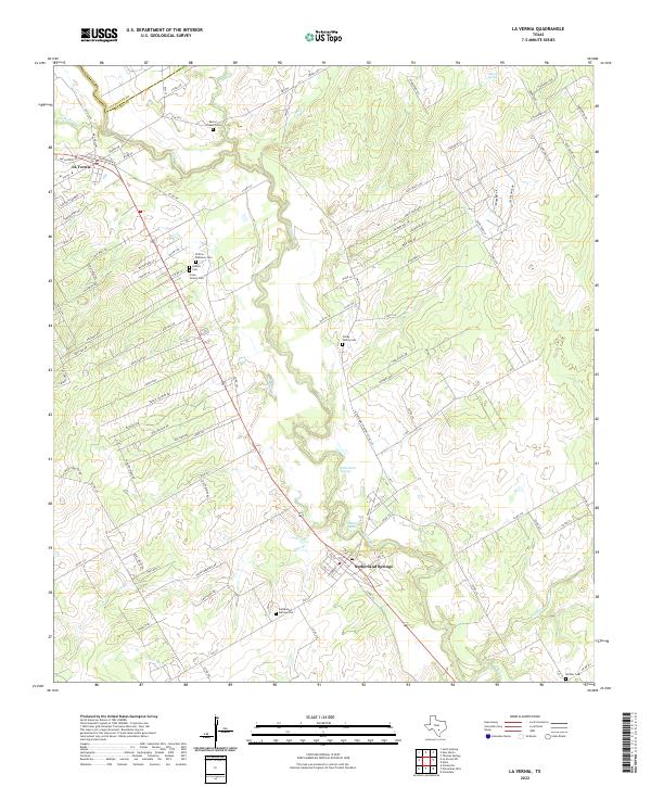
2022 Map of La Vernia
USGS Topo · Published 2022About this map
Cibolo Cr carves a winding path through the heart of this landscape, separating the established settlement of La Vernia in the northwest from the historic grounds of Sutherland Springs to the southeast. The area is a significant focal point for genealogical research, containing a high density of burial grounds including the Sutherland Springs Cem, the Polley Family Cem, and the Cruse Colony Cem.
Find a feature on this map
104 named features on this map. Tap any name to fly to it.
Don’t see what you’re looking for? This feature index may not catch every label — zoom into the map to look around manually.
Map Details
Editions of this 2022 La Vernia Map
This is the sole edition of this map. No revisions or reprints were ever made.
Other maps of this area

1920 · Smiley
USGS Topo · 1:125,000

1936 · Floresville
USGS Topo · 1:62,500

1942 · Dewville
USGS Topo · 1:62,500

1953 · Seguin
USGS Topo · 1:250,000

1954 · San Antonio
USGS Topo · 1:250,000

1956 · Dewville
USGS Topo · 1:62,500

1957 · San Antonio
USGS Topo · 1:250,000

1957 · New Berlin
USGS Topo · 1:24,000

1958 · Seguin
USGS Topo · 1:250,000

1958 · La Vernia SW
USGS Topo · 1:24,000