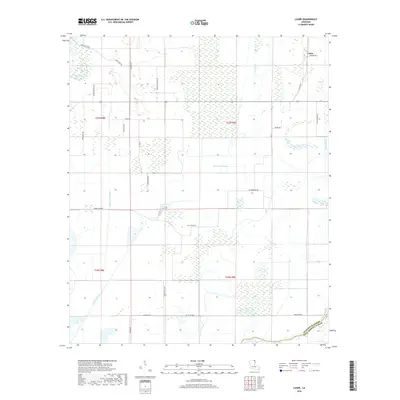
2018 Map of Laark
USGS Topo · Published 2018About this map
The settlement of Laark sits at the northeastern corner of this Louisiana landscape, where the agricultural grid meets a complex network of waterways near the Morehouse Parish and West Carroll Parish line. Much of the terrain is defined by low-lying drainages and backwaters, including Dry Bayou, Coffee Bayou, and the winding Shackleford Bayou. Large tracts of wetlands and sloughs like Black Pond Slough separate the cultivated fields, illustrating the persistent challenge of managing water in this section of the Mississippi Delta region.
Find a feature on this map
34 named features on this map. Tap any name to fly to it.
Don’t see what you’re looking for? This feature index may not catch every label — zoom into the map to look around manually.
Map Details
Editions of this 2018 Laark Map
This is the sole edition of this map. No revisions or reprints were ever made.
Other maps of this area

1935 · Wilmot
USGS Topo · 1:62,500

1935 · Oak Grove
USGS Topo · 1:62,500

1935 · Bonita
USGS Topo · 1:62,500

1936 · Eudora
USGS Topo · 1:62,500

1953 · Greenwood
USGS Topo · 1:250,000

1955 · Jackson
USGS Topo · 1:250,000

1956 · Greenwood
USGS Topo · 1:250,000

1957 · Eudora
USGS Topo · 1:62,500

1958 · Oak Grove
USGS Topo · 1:62,500

1958 · Bonita
USGS Topo · 1:62,500