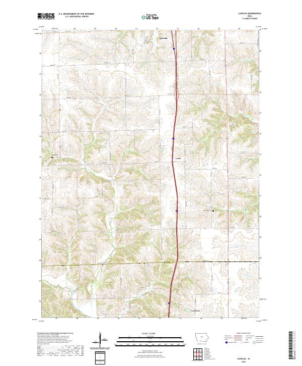
2022 Map of Lacelle
USGS Topo · Published 2022About this map
Leslie and Van Wert anchor this Southern Iowa landscape, where the southern edge of Osceola begins to give way to the drainage basins of the Missouri and Mississippi Rivers. The area is defined by a dense network of creeks, including the headwaters of Chariton Cr, S White Breast Cr, and Wolf Cr. These watercourses carve through the terrain, separated by a grid of rural roads like Co RD h45 and Co RD j12.
Find a feature on this map
52 named features on this map. Tap any name to fly to it.
Don’t see what you’re looking for? This feature index may not catch every label — zoom into the map to look around manually.
Map Details
Editions of this 2022 Lacelle Map
This is the sole edition of this map. No revisions or reprints were ever made.
Other maps of this area

1950 · New Virginia
USGS Topo · 1:62,500

1951 · Osceola
USGS Topo · 1:62,500

1952 · New Virginia
USGS Topo · 1:62,500

1954 · Centerville
USGS Topo · 1:250,000

1954 · Des Moines
USGS Topo · 1:250,000

1956 · Des Moines
USGS Topo · 1:250,000

1957 · Des Moines
USGS Topo · 1:250,000

1957 · Centerville
USGS Topo · 1:250,000

1958 · Centerville
USGS Topo · 1:250,000

1965 · Weldon
USGS Topo · 1:24,000