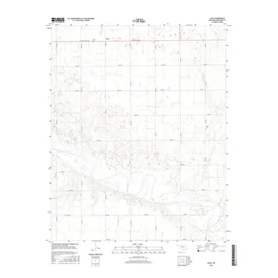
2016 Map of Lacey
USGS Topo · Published 2016About this map
The Cimarron River carves a complex, meandering path across this landscape in Kingfisher County, defining the local topography with its wide, shifting sandy banks and associated wetlands. This agricultural region is anchored by the small community of Lacey, where the intersection of W Jack Choate Ave and N2760 Rd serves as a local hub. The map reveals a strictly gridded road system that overlays the undulating terrain, punctuated by intermittent watercourses like Preacher Cr. For those tracing local heritage, the placement of the Lacey Cem and the more secluded Wilhite Cem provides specific points of interest for genealogical research. The survey illustrates the persistence of rural land use patterns in central Oklahoma, where the vastness of the river bottom contrasts with the orderly section lines of the surrounding plains.
Find a feature on this map
22 named features on this map. Tap any name to fly to it.
Don’t see what you’re looking for? This feature index may not catch every label — zoom into the map to look around manually.
Map Details
Editions of this 2016 Lacey Map
This is the sole edition of this map. No revisions or reprints were ever made.
Other maps of this area

1892 · Kingfisher
USGS Topo · 1:125,000

1893 · Hennessey
USGS Topo · 1:62,500

1893 · Loyal
USGS Topo · 1:62,500

1893 · Ames
USGS Topo · 1:62,500

1895 · Kingfisher
USGS Topo · 1:125,000

1954 · Oklahoma City
USGS Topo · 1:250,000

1955 · Clinton
USGS Topo · 1:250,000

1955 · Enid
USGS Topo · 1:250,000

1955 · Woodward
USGS Topo · 1:250,000

1956 · Ames
USGS Topo · 1:62,500