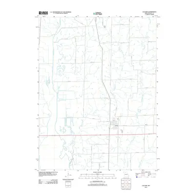
2012 Map of Laclede
USGS Topo · Published 2012About this map
Laclede stands as the primary hub of this Linn County landscape, characterized by a complex network of waterways that define its agricultural layout. The expansive course of Locust Creek meanders along the western boundary, its wide floodplain joined by Strawberry Branch. To the east, the drainage system includes Muddy Creek and Turkey Creek, which create a series of natural corridors across the township.
Find a feature on this map
47 named features on this map. Tap any name to fly to it.
Don’t see what you’re looking for? This feature index may not catch every label — zoom into the map to look around manually.
Map Details
Editions of this 2012 Laclede Map
This is the sole edition of this map. No revisions or reprints were ever made.
Other maps of this area

1924 · Chula
USGS Topo · 1:62,500

1924 · Hale
USGS Topo · 1:62,500

1946 · Brookfield
USGS Topo · 1:62,500

1947 · Chula
USGS Topo · 1:62,500

1948 · Brookfield
USGS Topo · 1:62,500

1949 · Sumner
USGS Topo · 1:24,000

1949 · Rothville
USGS Topo · 1:24,000

1950 · Sumner
USGS Topo · 1:24,000

1950 · Rothville
USGS Topo · 1:24,000

1951 · Hale
USGS Topo · 1:62,500