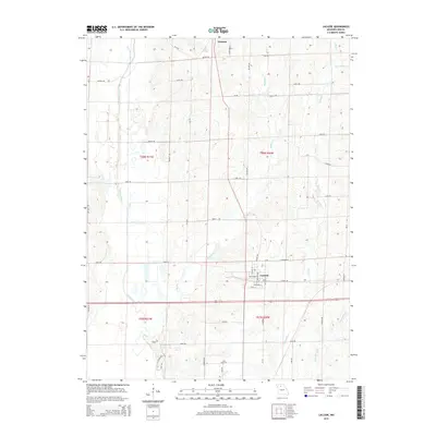
2015 Map of Laclede
USGS Topo · Published 2015About this map
Laclede stands as the central hub of this Linn County landscape, where the town's street grid, including Cole St and Cushman St, is bordered by a complex network of waterways. The terrain is defined by the drainage patterns of Locust Creek to the west and a series of smaller tributaries to the east. The nomenclature of the local creeks reflects a recurring theme, with Turkey Cr, Big Turkey Cr, and Little Turkey Cr all carving paths through the township sections. This 2015 survey illustrates a highly organized rural infrastructure, where a dense grid of named roads like Enon Rd, Etna Rd, and Dexter Rd partitions the land between the watercourses. The presence of Coal Cr and Muddy Cr further emphasizes the alluvial character of this Missouri region, providing a detailed record of the physical and civic boundaries that shape the area.
Find a feature on this map
37 named features on this map. Tap any name to fly to it.
Don’t see what you’re looking for? This feature index may not catch every label — zoom into the map to look around manually.
Map Details
Editions of this 2015 Laclede Map
This is the sole edition of this map. No revisions or reprints were ever made.
Other maps of this area

1924 · Chula
USGS Topo · 1:62,500

1924 · Hale
USGS Topo · 1:62,500

1946 · Brookfield
USGS Topo · 1:62,500

1947 · Chula
USGS Topo · 1:62,500

1948 · Brookfield
USGS Topo · 1:62,500

1949 · Sumner
USGS Topo · 1:24,000

1949 · Rothville
USGS Topo · 1:24,000

1950 · Sumner
USGS Topo · 1:24,000

1950 · Rothville
USGS Topo · 1:24,000

1951 · Hale
USGS Topo · 1:62,500