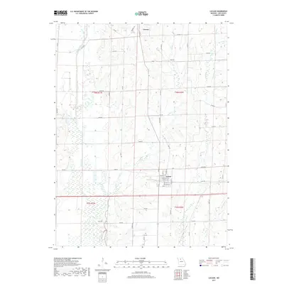
2017 Map of Laclede
USGS Topo · Published 2017About this map
Laclede and Linneus anchor this northern Missouri landscape, where the township lines of t58n r21w and t58n r20w meet amidst a complex network of waterways. The western portion of the sheet is dominated by the broad wetlands surrounding Locust Creek, while the eastern terrain is carved by the drainages of Big Turkey Cr and Little Turkey Cr. The settlement of Laclede is meticulously detailed with a street grid including Pershing Dr, Myrtle St, and Grove St, reflecting its historical development at a key regional junction.
Find a feature on this map
63 named features on this map. Tap any name to fly to it.
Don’t see what you’re looking for? This feature index may not catch every label — zoom into the map to look around manually.
Map Details
Editions of this 2017 Laclede Map
This is the sole edition of this map. No revisions or reprints were ever made.
Other maps of this area

1924 · Chula
USGS Topo · 1:62,500

1924 · Hale
USGS Topo · 1:62,500

1946 · Brookfield
USGS Topo · 1:62,500

1947 · Chula
USGS Topo · 1:62,500

1948 · Brookfield
USGS Topo · 1:62,500

1949 · Sumner
USGS Topo · 1:24,000

1949 · Rothville
USGS Topo · 1:24,000

1950 · Sumner
USGS Topo · 1:24,000

1950 · Rothville
USGS Topo · 1:24,000

1951 · Hale
USGS Topo · 1:62,500