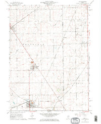
1966 Map of Ladd
USGS Topo · Published 1968About this map
The industrial legacy of the northern Illinois coal fields is etched into the landscape around Ladd and Cherry in this mid-1960s survey. A prominent Mine Dump north of Cherry and the Miners Memorial Cem serve as poignant reminders of the local mining heritage. The area is defined by a complex intersection of transportation and utility corridors, where the Chicago Burlington and Quincy and the Chicago Milwaukee St Paul and Pacific railroads once hummed with freight.
Find a feature on this map
30 named features on this map. Tap any name to fly to it.
Don’t see what you’re looking for? This feature index may not catch every label — zoom into the map to look around manually.
Map Details
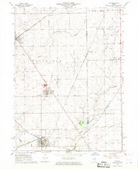
Editions of this 1966 Ladd Map
2 editions found
Other maps of this area

1893 · Hennepin
USGS Topo · 1:62,500

1893 · Lasalle
USGS Topo · 1:62,500

1909 · Hennepin
USGS Topo · 1:62,500

1911 · La Salle
USGS Topo · 1:62,500

1911 · Hennepin
USGS Topo · 1:62,500

1913 · La Salle
USGS Topo · 1:62,500

1947 · La Salle
USGS Topo · 1:62,500

1951 · Amboy
USGS Topo · 1:62,500

1952 · Mendota
USGS Topo · 1:62,500

1958 · Aurora
USGS Topo · 1:250,000