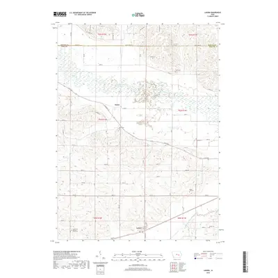
2018 Map of Ladora
USGS Topo · Published 2018About this map
The town of Ladora sits along the southern edge of this Iowa County landscape, positioned near the confluence of Big Bear Creek and Little Bear Cr. The terrain is defined by the broad, meandering valley of the Iowa River, which cuts horizontally across the map, flanked by numerous small tributaries like Honey Cr and Willow Brook. This 2018 survey reveals a rural landscape deeply tied to its local history through a high density of small burial grounds and landmarks.
Find a feature on this map
57 named features on this map. Tap any name to fly to it.
Don’t see what you’re looking for? This feature index may not catch every label — zoom into the map to look around manually.
Map Details
Editions of this 2018 Ladora Map
This is the sole edition of this map. No revisions or reprints were ever made.
Other maps of this area

1954 · Des Moines
USGS Topo · 1:250,000

1956 · Des Moines
USGS Topo · 1:250,000

1957 · Des Moines
USGS Topo · 1:250,000

1965 · Ladora
USGS Topo · 1:24,000

1965 · Keystone South
USGS Topo · 1:24,000
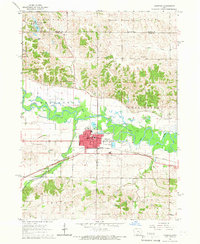
1965 · Marengo
USGS Topo · 1:24,000
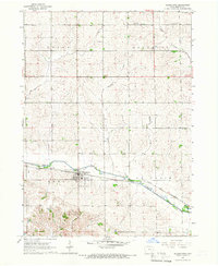
1965 · Blairstown
USGS Topo · 1:24,000
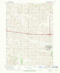
1968 · Williamsburg
USGS Topo · 1:24,000

1968 · Victor
USGS Topo · 1:24,000

1968 · Belle Plaine
USGS Topo · 1:24,000