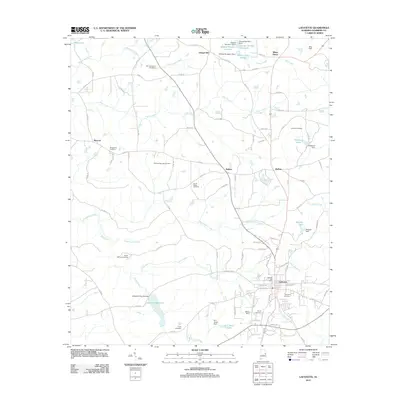
2011 Map of Lafayette
USGS Topo · Published 2011About this map
The county seat of Lafayette serves as the focal point of this east-central Alabama landscape, where the town's street grid transitions into a network of rural county roads. Water management is a defining characteristic of the terrain, visible through a series of local impoundments including the Lafayette Reservoir, Robinson Lake, and the Sharpe Lake Number 2. These bodies of water are fed by a complex drainage system led by Chatahospee Creek and Pigeonroost Creek. For those tracing local heritage, the map identifies numerous family and community burial grounds such as the Hill-Thompson Cemetery, Old Rock Springs Cemetery, and Sandy Ridge Cemetery. Small settlements like Buffalo, Rollins, and Chapel Hill dot the crossings, while the Lafayette Post Office remains the central hub for the surrounding countryside at this point in the early 21st century.
Find a feature on this map
94 named features on this map. Tap any name to fly to it.
Don’t see what you’re looking for? This feature index may not catch every label — zoom into the map to look around manually.
Map Details
Editions of this 2011 Lafayette Map
This is the sole edition of this map. No revisions or reprints were ever made.
Other maps of this area

1891 · Ashland
USGS Topo · 1:125,000

1899 · Wedowee
USGS Topo · 1:125,000

1902 · Wedowee
USGS Topo · 1:125,000

1906 · Dadeville
USGS Topo · 1:125,000

1907 · Opelika
USGS Topo · 1:125,000

1909 · Opelika
USGS Topo · 1:125,000

1953 · Atlanta
USGS Topo · 1:250,000

1955 · Phenix City
USGS Topo · 1:250,000

1957 · Phenix City
USGS Topo · 1:250,000

1957 · Atlanta
USGS Topo · 1:250,000