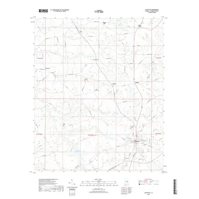
2018 Map of Lafayette
USGS Topo · Published 2018About this map
The Chambers County seat of La Fayette serves as the focal point for this 2018 survey, showing the city's residential and commercial grid at the southern end of the quadrangle. As the intersection for several regional routes including AL Highway 77, the area maintains a network of rural settlements like Buffalo, Rollins, and Chapel Hill. For genealogists, the map is particularly rich in family and community burial grounds, documenting locations such as Old Rock Springs Cem, Poplar Springs Cem, and the Hill-Thompson Cem near the northern boundary.
Find a feature on this map
104 named features on this map. Tap any name to fly to it.
Don’t see what you’re looking for? This feature index may not catch every label — zoom into the map to look around manually.
Map Details
Editions of this 2018 Lafayette Map
This is the sole edition of this map. No revisions or reprints were ever made.
Other maps of this area

1891 · Ashland
USGS Topo · 1:125,000

1899 · Wedowee
USGS Topo · 1:125,000

1902 · Wedowee
USGS Topo · 1:125,000

1906 · Dadeville
USGS Topo · 1:125,000

1907 · Opelika
USGS Topo · 1:125,000

1909 · Opelika
USGS Topo · 1:125,000

1953 · Atlanta
USGS Topo · 1:250,000

1955 · Phenix City
USGS Topo · 1:250,000

1957 · Phenix City
USGS Topo · 1:250,000

1957 · Atlanta
USGS Topo · 1:250,000