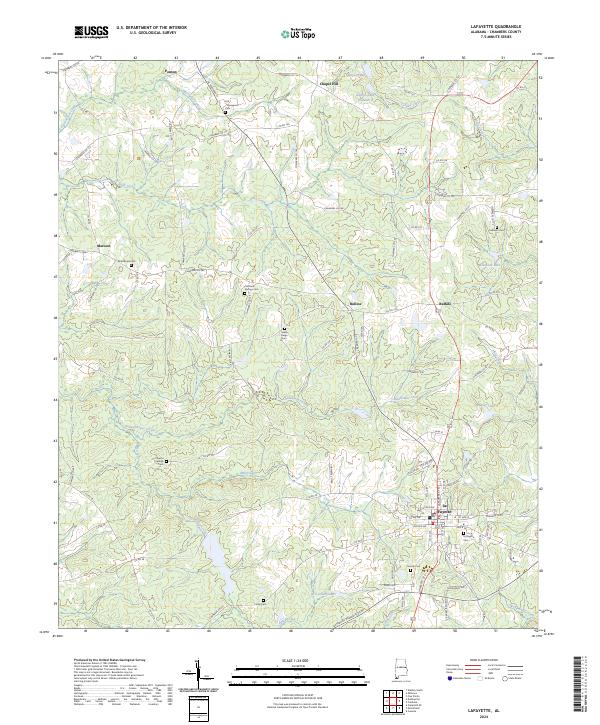
2024 Map of Lafayette
USGS Topo · Published 2024About this map
La Fayette serves as the focal point of this Chambers County landscape, situated at the junction of several county roads and AL Highway 77. The settlement pattern reflects a series of small, dispersed communities such as Buffalo, Rollins, and Penton that dot the countryside between major watercourses. These drainage networks, most notably Chatahospee Creek and Pigeonroost Creek, define the topography as it moves through the agricultural and wooded lands of east-central Alabama.
Find a feature on this map
107 named features on this map. Tap any name to fly to it.
Don’t see what you’re looking for? This feature index may not catch every label — zoom into the map to look around manually.
Map Details
Editions of this 2024 Lafayette Map
This is the sole edition of this map. No revisions or reprints were ever made.
Other maps of this area

1891 · Ashland
USGS Topo · 1:125,000

1899 · Wedowee
USGS Topo · 1:125,000

1902 · Wedowee
USGS Topo · 1:125,000

1906 · Dadeville
USGS Topo · 1:125,000

1907 · Opelika
USGS Topo · 1:125,000

1909 · Opelika
USGS Topo · 1:125,000

1953 · Atlanta
USGS Topo · 1:250,000

1955 · Phenix City
USGS Topo · 1:250,000

1957 · Phenix City
USGS Topo · 1:250,000

1957 · Atlanta
USGS Topo · 1:250,000