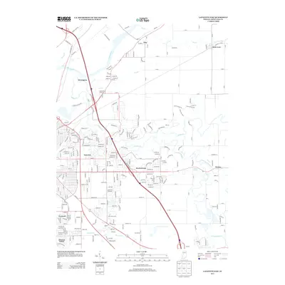
2013 Map of Lafayette East
USGS Topo · Published 2013About this map
The Wabash River and its intricate tributaries dominate this 2013 portrait of the eastern Lafayette area, where suburban expansion meets long-standing rural hamlets. The landscape is defined by the winding course of Wildcat Cr and its branches, including the S Fork Wildcat Cr and Middle Fork Wildcat Cr, which carved the terrain long before modern subdivisions like Meadowbrook and Eastwitch appeared. To the north and east, the transition to Indiana’s agricultural heartland is evident in the straight lines of the Buck Creek Ditch and Elliott Ditch, alongside the older settlements of Buck Creek and Monitor. Local history is embedded in the names of thoroughfares like Prophets Rock Rd and Burnetts Rd, while the proximity of Monitor Springs and the historic site of Birmingham highlights the enduring importance of water sources in Tippecanoe County’s development.
Find a feature on this map
251 named features on this map. Tap any name to fly to it.
Don’t see what you’re looking for? This feature index may not catch every label — zoom into the map to look around manually.
Map Details
Editions of this 2013 Lafayette East Map
This is the sole edition of this map. No revisions or reprints were ever made.
Other maps of this area

1941 · Lafayette
USGS Topo · 1:24,000

1942 · Lafayette
USGS Topo · 1:24,000

1950 · Lafayette
USGS Topo · 1:24,000

1953 · Danville
USGS Topo · 1:250,000

1955 · Danville
USGS Topo · 1:250,000

1956 · Danville
USGS Topo · 1:250,000

1961 · Mulberry
USGS Topo · 1:24,000

1961 · Pyrmont
USGS Topo · 1:24,000

1961 · Romney
USGS Topo · 1:24,000

1961 · Stockwell
USGS Topo · 1:24,000