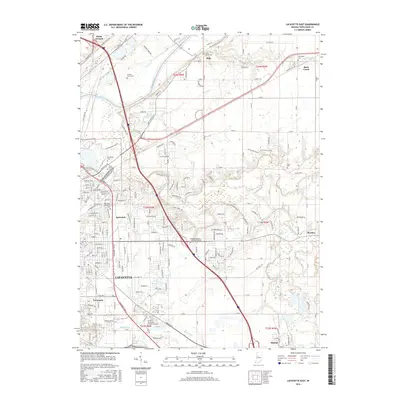
2016 Map of Lafayette East
USGS Topo · Published 2016About this map
Lafayette and its eastern suburbs are documented during a period of modern expansion along the Wabash River and Wildcat Creek corridors. The landscape transitions from the urban density of the city center to the established rural communities of Buck Creek, Monitor, and Dayton. Significant educational institutions like Ivy Tech Community College-Lafayette and the Indiana Business College-Lafayette anchor the southern and central districts. Historically significant burial grounds, including Saint Boniface Cem, Springvale Cem, and the family-named Swisher-Hurtz Cem, are preserved across the quadrangle. Transportation remains a defining feature, with the N&W RR line cutting through the northeast, while residential developments like Eastwitch and Tecumseh fill the space between historical drainage features like Elliott Ditch and the prominent Roseberry Ridge.
Find a feature on this map
122 named features on this map. Tap any name to fly to it.
Don’t see what you’re looking for? This feature index may not catch every label — zoom into the map to look around manually.
Map Details
Editions of this 2016 Lafayette East Map
This is the sole edition of this map. No revisions or reprints were ever made.
Other maps of this area

1941 · Lafayette
USGS Topo · 1:24,000

1942 · Lafayette
USGS Topo · 1:24,000

1950 · Lafayette
USGS Topo · 1:24,000

1953 · Danville
USGS Topo · 1:250,000

1955 · Danville
USGS Topo · 1:250,000

1956 · Danville
USGS Topo · 1:250,000

1961 · Mulberry
USGS Topo · 1:24,000

1961 · Pyrmont
USGS Topo · 1:24,000

1961 · Romney
USGS Topo · 1:24,000

1961 · Stockwell
USGS Topo · 1:24,000