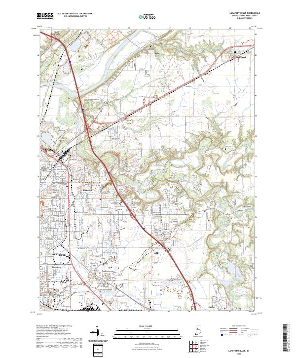
2022 Map of Lafayette East
USGS Topo · Published 2022About this map
Lafayette serves as the focal point of this contemporary survey, where the urban grid meets the winding course of the Wabash River and Wildcat Creek. The map documents a complex network of suburban expansion and industrial infrastructure, particularly evident in the growth around Eastwitch and Tecumseh. This area is characterized by a significant concentration of local history markers, including several large cemeteries like Spring Vale Cem and Haven Memorial Park that border the city’s northeastern edge.
Find a feature on this map
218 named features on this map. Tap any name to fly to it.
Don’t see what you’re looking for? This feature index may not catch every label — zoom into the map to look around manually.
Map Details
Editions of this 2022 Lafayette East Map
This is the sole edition of this map. No revisions or reprints were ever made.
Other maps of this area

1941 · Lafayette
USGS Topo · 1:24,000

1942 · Lafayette
USGS Topo · 1:24,000

1950 · Lafayette
USGS Topo · 1:24,000

1953 · Danville
USGS Topo · 1:250,000

1955 · Danville
USGS Topo · 1:250,000

1956 · Danville
USGS Topo · 1:250,000

1961 · Mulberry
USGS Topo · 1:24,000

1961 · Pyrmont
USGS Topo · 1:24,000

1961 · Romney
USGS Topo · 1:24,000

1961 · Stockwell
USGS Topo · 1:24,000