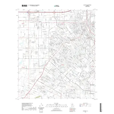
2020 Map of Lafayette
USGS Topo · Published 2020About this map
The Vermilion River carves through this Acadiana hub, serving as the central artery for the growing city of Lafayette and surrounding communities like Broadmoor and Scott. The landscape is a dense network of coulees and contemporary thoroughfares, including the Old Spanish Trl and Ambassador Caffery Pkwy, which facilitate the region's expansion. The urban core is anchored by the University of Louisiana at Lafayette and the Lafayette Parish Courthouse, while the outskirts transition into the residential and light industrial outskirts of Broussard and Youngsville.
Find a feature on this map
48 named features on this map. Tap any name to fly to it.
Don’t see what you’re looking for? This feature index may not catch every label — zoom into the map to look around manually.
Map Details
Editions of this 2020 Lafayette Map
This is the sole edition of this map. No revisions or reprints were ever made.
Other maps of this area

1934 · Duson
USGS Topo · 1:31,680

1939 · St. Martinsville
USGS Topo · 1:62,500

1940 · Arnaudville
USGS Topo · 1:62,500

1946 · Milton
USGS Topo · 1:31,680

1946 · Leroy
USGS Topo · 1:31,680

1946 · Lafayette
USGS Topo · 1:31,680

1952 · Lake Charles
USGS Topo · 1:250,000

1954 · Lafayette
USGS Topo · 1:31,680

1954 · Duson
USGS Topo · 1:31,680
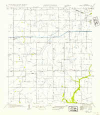
1954 · Leroy
USGS Topo · 1:31,680