
1954 Map of Lafayette
USGS Topo · Published 1954About this map
The Louisiana Southwestern Institute anchors the south side of Lafayette in this mid-century survey, which reveals a city poised between its agricultural roots and modern expansion. The Vermilion River snakes through the center of the landscape, its banks marked by dense vegetation and intricate drainage networks like Coulee des Poches. Local infrastructure is defined by the Southern Pacific railroad corridor, which links the city to the neighboring settlement of Scott to the west. Outside the main grid of streets such as Congress St and St John St, the land is divided into numerous small tracts and long-lot boundaries characteristic of Acadiana. Small rural hubs like Tolson, Langs, and Ely Junction appear alongside local educational sites like Long Sch and Vera Sch, providing valuable points of reference for genealogists studying the transition from rural farming to urban development in Lafayette Parish.
Find a feature on this map
28 named features on this map. Tap any name to fly to it.
Don’t see what you’re looking for? This feature index may not catch every label — zoom into the map to look around manually.
Map Details
Editions of this 1954 Lafayette Map
This is the sole edition of this map. No revisions or reprints were ever made.
Other maps of this area

1934 · Duson
USGS Topo · 1:31,680

1939 · St. Martinsville
USGS Topo · 1:62,500

1940 · Arnaudville
USGS Topo · 1:62,500

1946 · Milton
USGS Topo · 1:31,680

1946 · Leroy
USGS Topo · 1:31,680

1946 · Lafayette
USGS Topo · 1:31,680

1952 · Lake Charles
USGS Topo · 1:250,000

1954 · Duson
USGS Topo · 1:31,680
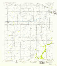
1954 · Leroy
USGS Topo · 1:31,680
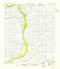
1954 · Milton
USGS Topo · 1:31,680