
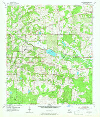
1954 Map of Lafayette
USGS Topo · Published 1955About this map
The Federal Correctional Institution and its surrounding agricultural infrastructure, including a Prison Farm and Sewage Disposal plant, anchor the landscape of Leon County in the early 1950s. This survey captures a rural community defined by a dense network of country churches and small settlements, such as Lafayette and Perkins, situated along the Seaboard Air Line railroad. The topography is dominated by the sprawling, marshy waters of Lake Lafayette, with its distinct Alford Arm and the nearby Piney Z Lake. Genealogists will find significant value in the numerous recorded sites of worship and burial, from the Mt Sinai Ch Cem to St Peter and Queen Chapel. To the south, the boundary of the Apalachicola National Forest marks a transition into the protected woodlands of the Florida Panhandle.
Find a feature on this map
31 named features on this map. Tap any name to fly to it.
Don’t see what you’re looking for? This feature index may not catch every label — zoom into the map to look around manually.
Map Details
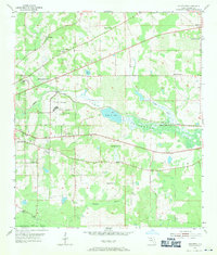
Editions of this 1954 Lafayette Map
Other maps of this area

1940 · Tallahassee
USGS Topo · 1:62,500

1942 · Tallahassee
USGS Topo · 1:62,500

1943 · Tallahassee
USGS Topo · 1:62,500

1954 · Lloyd
USGS Topo · 1:24,000

1954 · Cody
USGS Topo · 1:24,000

1954 · Woodville
USGS Topo · 1:24,000

1954 · Tallahassee
USGS Topo · 1:250,000

1959 · Tallahassee
USGS Topo · 1:250,000

1960 · Tallahassee
USGS Topo · 1:250,000
1963 · Bradfordville
USGS Topo · 1:24,000