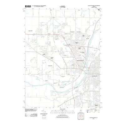
2010 Map of Lafayette West
USGS Topo · Published 2010About this map
The expansive campus and specialized agricultural facilities of Purdue University anchor this Tippecanoe County landscape, reflecting the university's significant footprint west of the Wabash River. The map meticulously details several institutional divisions, from the Purdue University Agronomy Farm in the northwest to the Purdue University Airport and Purdue University Veterinarian Farm near Summit. This academic corridor is flanked by established residential developments such as Klondike, Wabash Shores, and Happy Hollow Heights.
Find a feature on this map
55 named features on this map. Tap any name to fly to it.
Don’t see what you’re looking for? This feature index may not catch every label — zoom into the map to look around manually.
Map Details
Editions of this 2010 Lafayette West Map
This is the sole edition of this map. No revisions or reprints were ever made.
Other maps of this area

1941 · Lafayette
USGS Topo · 1:24,000

1942 · Otterbein
USGS Topo · 1:24,000

1942 · Lafayette
USGS Topo · 1:24,000

1950 · Lafayette
USGS Topo · 1:24,000

1951 · Otterbein
USGS Topo · 1:24,000

1953 · Danville
USGS Topo · 1:250,000

1955 · Danville
USGS Topo · 1:250,000

1956 · Danville
USGS Topo · 1:250,000

1961 · Romney
USGS Topo · 1:24,000

1961 · Stockwell
USGS Topo · 1:24,000