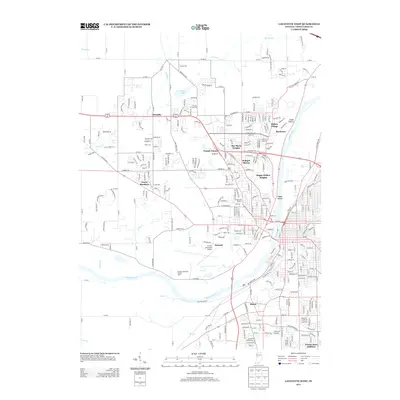
2013 Map of Lafayette West
USGS Topo · Published 2013About this map
Purdue University Airport and the sprawling campus grounds define the central character of this West Lafayette landscape. The map details the urban and academic expansion westward from the Wabash River, showcasing collegiate landmarks such as Ross-Ade Stadium and specialized facilities like the Purdue University Poultry Farm. The residential fabric is a complex mosaic of established neighborhoods and mid-century developments, including Wabash Shores, Indian Village, and Bar-Barry Heights. To the south, the community of Elston sits near the riverbanks, while the northern reaches transitions into the growing settlement of Klondike. Significant infrastructure is visible throughout, from the historic alignment of Old Tow Path Rd along the river to the modern bypass of Sagamore Pkwy W, reflecting the area's evolution as a major educational and transportation hub.
Find a feature on this map
58 named features on this map. Tap any name to fly to it.
Don’t see what you’re looking for? This feature index may not catch every label — zoom into the map to look around manually.
Map Details
Editions of this 2013 Lafayette West Map
This is the sole edition of this map. No revisions or reprints were ever made.
Other maps of this area

1941 · Lafayette
USGS Topo · 1:24,000

1942 · Otterbein
USGS Topo · 1:24,000

1942 · Lafayette
USGS Topo · 1:24,000

1950 · Lafayette
USGS Topo · 1:24,000

1951 · Otterbein
USGS Topo · 1:24,000

1953 · Danville
USGS Topo · 1:250,000

1955 · Danville
USGS Topo · 1:250,000

1956 · Danville
USGS Topo · 1:250,000

1961 · Romney
USGS Topo · 1:24,000

1961 · Stockwell
USGS Topo · 1:24,000