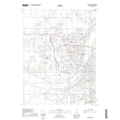
2019 Map of Lafayette West
USGS Topo · Published 2019About this map
The Wabash River serves as the central artery for this survey, carving a path between the urban centers of Lafayette and West Lafayette. This 2019 edition captures the modern footprint of the area, where the expansive Purdue University Airport dominates the central landscape, acting as a buffer between the collegiate town and the residential growth to the west. The map documents several established neighborhoods and developments such as Happy Hollow Heights, Bar-Barry Heights, and McQuinn Estates.
Find a feature on this map
119 named features on this map. Tap any name to fly to it.
Don’t see what you’re looking for? This feature index may not catch every label — zoom into the map to look around manually.
Map Details
Editions of this 2019 Lafayette West Map
This is the sole edition of this map. No revisions or reprints were ever made.
Other maps of this area

1941 · Lafayette
USGS Topo · 1:24,000

1942 · Otterbein
USGS Topo · 1:24,000

1942 · Lafayette
USGS Topo · 1:24,000

1950 · Lafayette
USGS Topo · 1:24,000

1951 · Otterbein
USGS Topo · 1:24,000

1953 · Danville
USGS Topo · 1:250,000

1955 · Danville
USGS Topo · 1:250,000

1956 · Danville
USGS Topo · 1:250,000

1961 · Romney
USGS Topo · 1:24,000

1961 · Stockwell
USGS Topo · 1:24,000