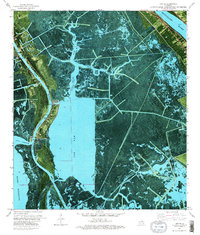
1973 Map of Lafitte
USGS Topo · Published 1976About this map
Lafitte and the surrounding delta lowlands of Jefferson Parish and Plaquemines Parish are shown here as they appeared in the early 1970s. This orthophotomap provides a rare hybrid view of the landscape, combining traditional topographic contouring with aerial photography to reveal the intricate network of marsh, ridges, and water that defines this region. The settlement of Lafitte is clustered along the Bayou Barataria, where several family and community burial grounds including Lafitte Cem, Coulon Cem, Adams Cem, and Fisher Cem are clearly marked.
Find a feature on this map
29 named features on this map. Tap any name to fly to it.
Don’t see what you’re looking for? This feature index may not catch every label — zoom into the map to look around manually.
Map Details
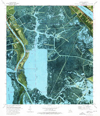
Editions of this 1973 Lafitte Map
2 editions found
Other maps of this area

1891 · Pointe a La Hache
USGS Topo · 1:62,500

1891 · New Orleans
USGS Topo · 1:62,500

1892 · Barataria
USGS Topo · 1:62,500

1892 · St. Bernard
USGS Topo · 1:62,500

1892 · Pointe a La Hache
USGS Topo · 1:62,500

1932 · New Orleans SE
USGS Topo · 1:31,680

1932 · New Orleans SW
USGS Topo · 1:31,680

1939 · Pointe a La Hache
USGS Topo · 1:62,500
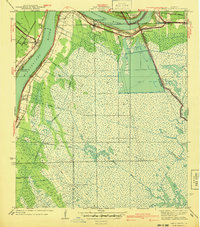
1940 · Belle Chasse
USGS Topo · 1:31,680
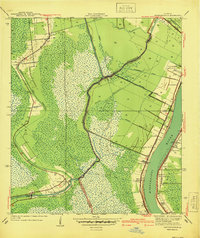
1940 · Bertrandville
USGS Topo · 1:31,680