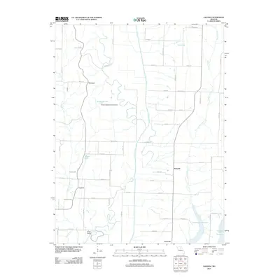
2012 Map of Lagonda
USGS Topo · Published 2012About this map
The Chariton River meanders through the heart of this Missouri landscape, defining a terrain shaped by water and small rural communities. The map highlights several established settlements, including Lagonda, Barryville, and Hammack, alongside newer developments such as Sleepy Hollow. Genealogists will find significant value in the documentation of local burial sites, with Dodson Cemetery, Rice Cemetery, and Johnson Cemetery all clearly marked within the river valley.
Find a feature on this map
57 named features on this map. Tap any name to fly to it.
Don’t see what you’re looking for? This feature index may not catch every label — zoom into the map to look around manually.
Map Details
Editions of this 2012 Lagonda Map
This is the sole edition of this map. No revisions or reprints were ever made.
Other maps of this area

1937 · Elmer
USGS Topo · 1:48,000

1942 · Elmer
USGS Topo · 1:62,500

1950 · New Cambria West
USGS Topo · 1:24,000

1953 · Moberly
USGS Topo · 1:250,000

1953 · Bevier South
USGS Topo · 1:24,000

1953 · College Mound
USGS Topo · 1:24,000

1953 · Prairie Hill
USGS Topo · 1:24,000

1953 · Lagonda
USGS Topo · 1:24,000

1953 · Wien
USGS Topo · 1:24,000

1953 · Bynumville
USGS Topo · 1:24,000