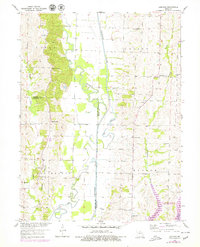
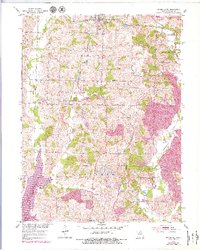
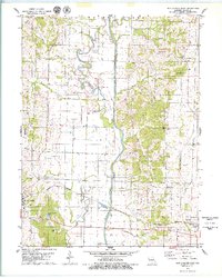
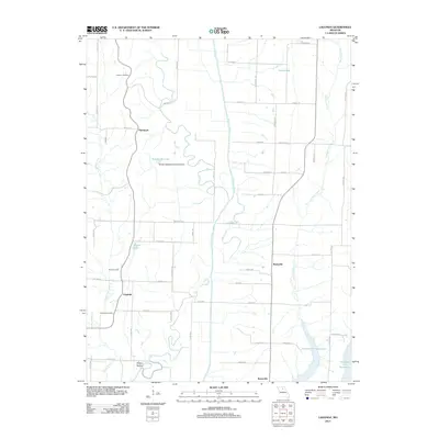
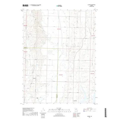
1953 Map of Lagonda
USGS Topo · Published 1979About this map
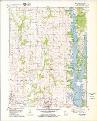
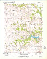
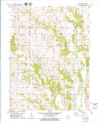
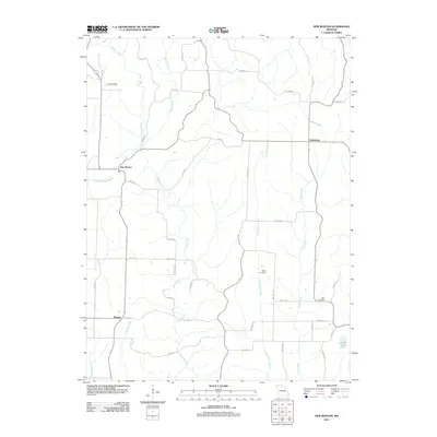
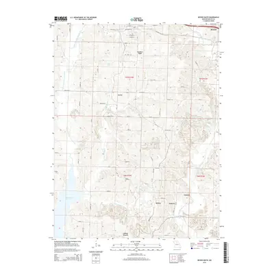
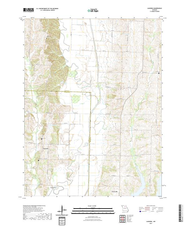
The Chariton River carves a complex path across this northern Missouri landscape, characterized by the winding remnants of the Old Channel that highlight the waterway's natural migration. Settlement is concentrated in small rural clusters like Lagonda and Kaseyville, while the surrounding countryside is dotted with foundational community institutions. A significant network of country schools, including Minefree Sch and Hammock Sch, alongside local landmarks like Oak Grove Ch, reflects the mid-century social fabric of Macon and Chariton Counties. In the southeast, the development of the Thomas Hill Reservoir signals the mid-to-late century transformation of the river valley. Genealogists will find particular value in the family-named burial sites such as Dodson Cem and Johnson Cem, which anchor the historical record of these townships.
Find a feature on this map
29 named features on this map. Tap any name to fly to it.
Don’t see what you’re looking for? This feature index may not catch every label — zoom into the map to look around manually.
Map Details
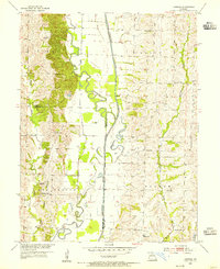
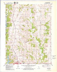
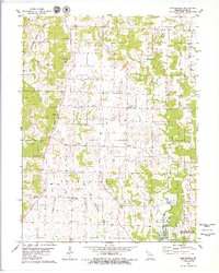
Editions of this 1953 Lagonda Map
2 editions found
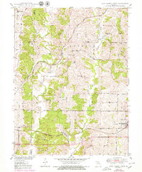
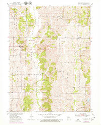
Historical Maps of Lagonda Through Time
50 maps found
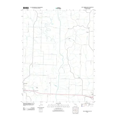
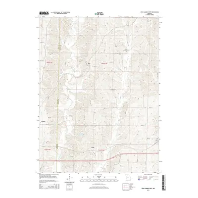
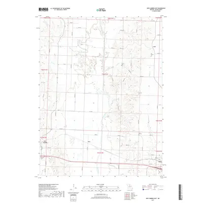
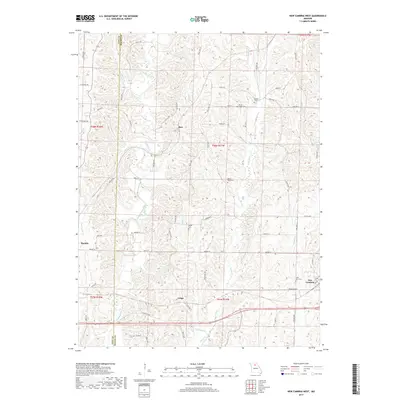
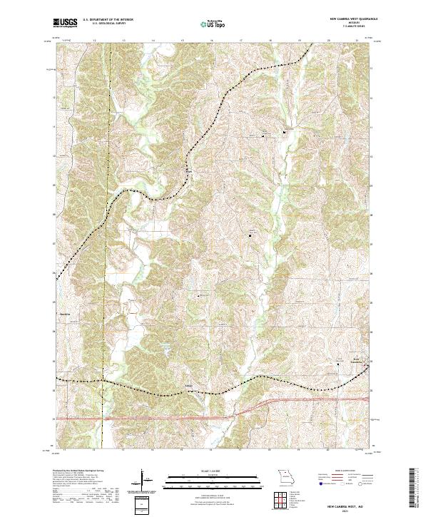
1950 New Cambria West
Macon County, MO
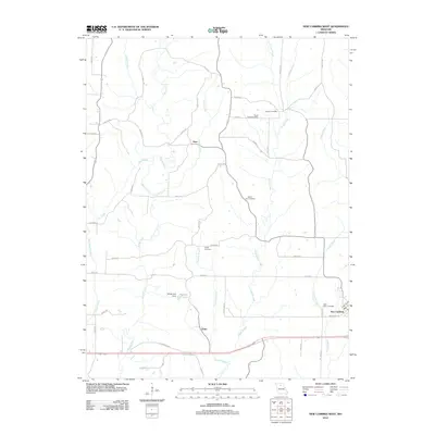
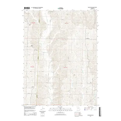
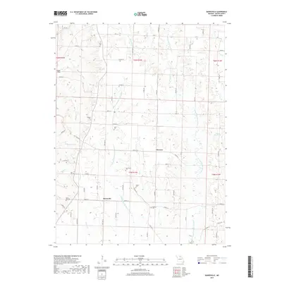
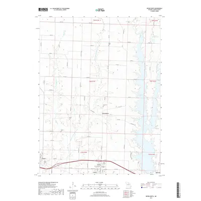
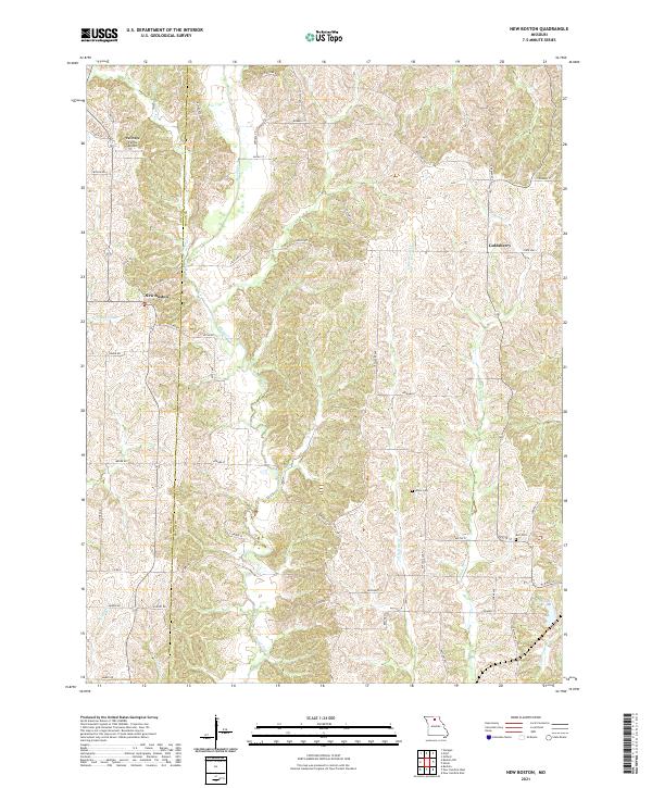
1951 New Boston
Macon County, MO
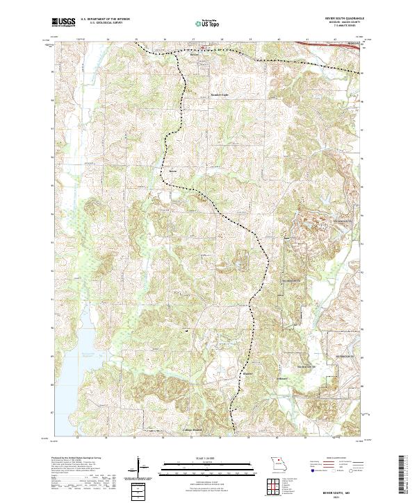
1953 Bevier South
Macon County, MO
1953 Lagonda
Macon County, MO
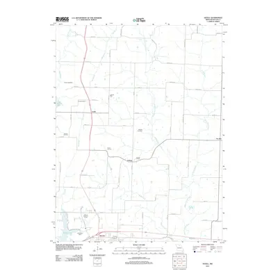
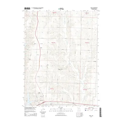
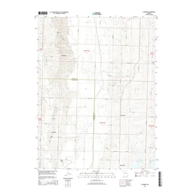
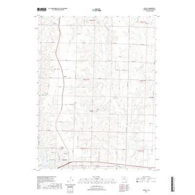
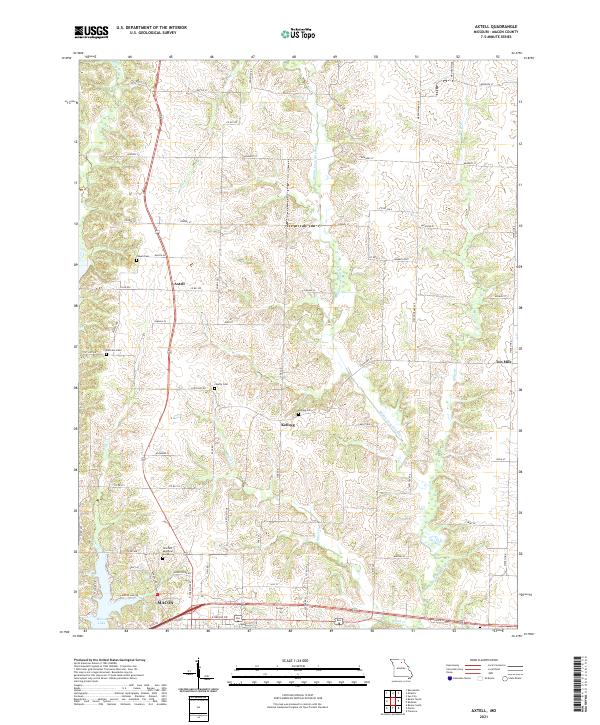
1979 Axtell
Macon County, MO
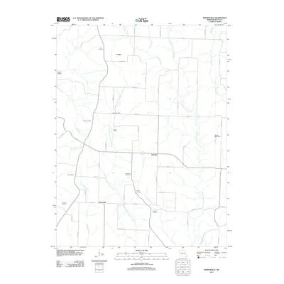
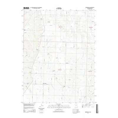
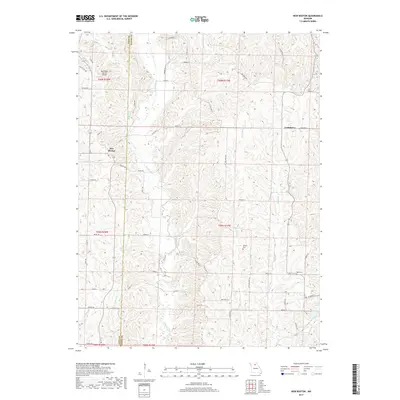
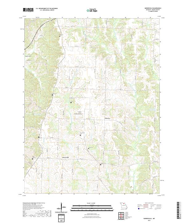
1979 Barnesville
Macon County, MO
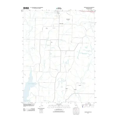
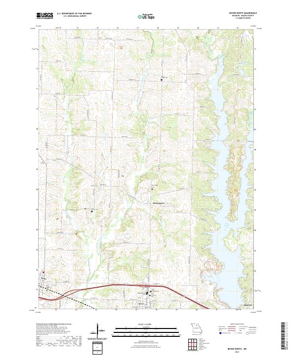
1979 Bevier North
Macon County, MO
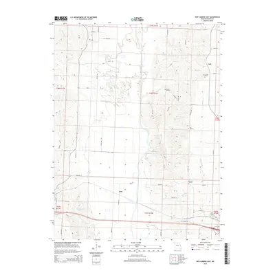
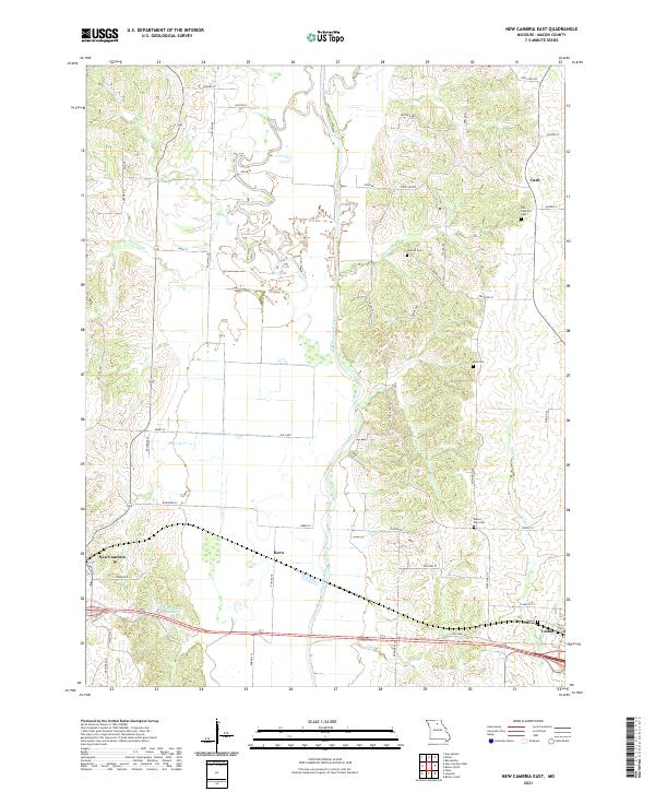
1979 New Cambria East
Macon County, MO
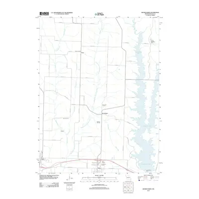
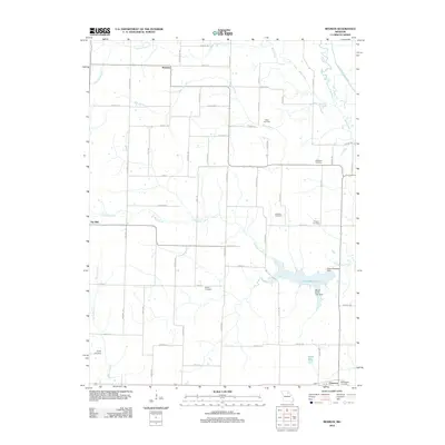
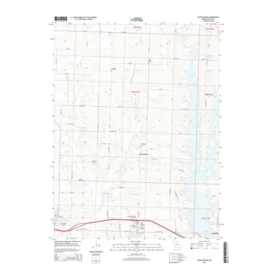
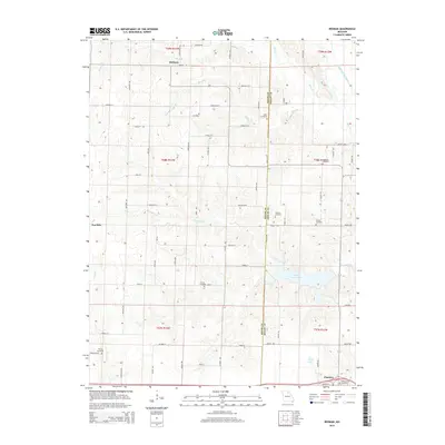
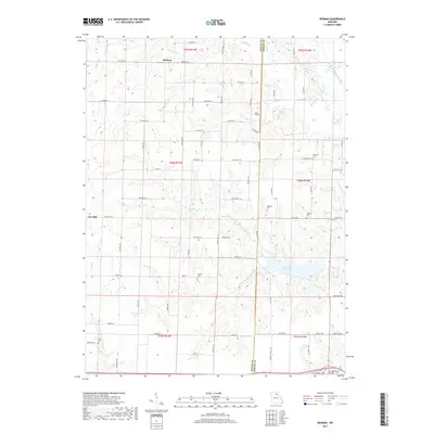
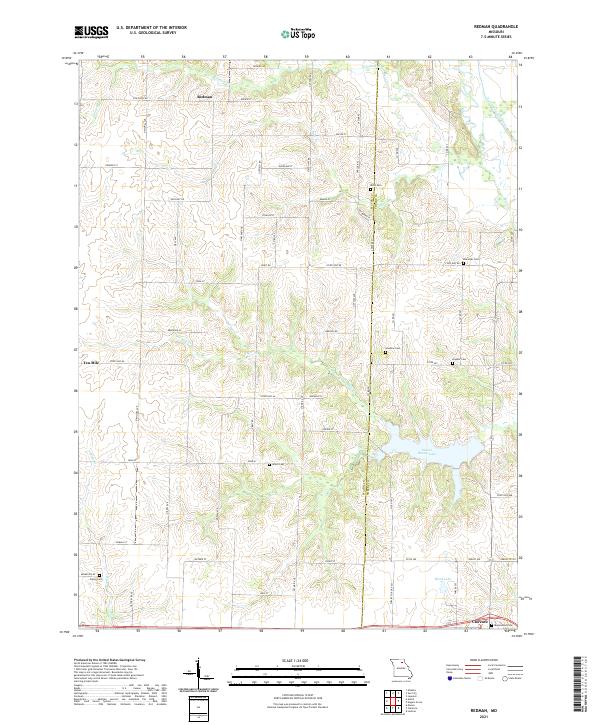
1979 Redman
Macon County, MO
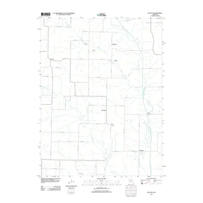
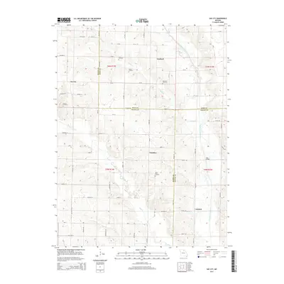
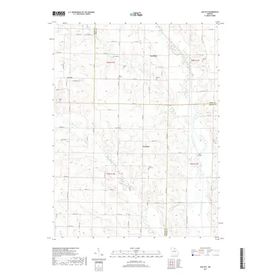
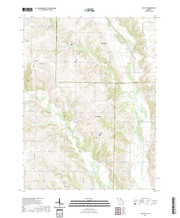
1979 Sue City
Macon County, MO
2012 Axtell
Macon County, MO
2012 Barnesville
Macon County, MO
2012 Bevier North
Macon County, MO
2012 Bevier South
Macon County, MO
2012 Lagonda
Macon County, MO
2012 New Boston
Macon County, MO
2012 New Cambria East
Macon County, MO
2012 New Cambria West
Macon County, MO
2012 Redman
Macon County, MO
2012 Sue City
Macon County, MO
2014 Axtell
Macon County, MO
2014 Barnesville
Macon County, MO
2014 Bevier North
Macon County, MO
2014 Bevier South
Macon County, MO
2014 Lagonda
Macon County, MO
2014 New Boston
Macon County, MO
2014 New Cambria East
Macon County, MO
2014 New Cambria West
Macon County, MO
2014 Sue City
Macon County, MO
2015 Redman
Macon County, MO
2017 Axtell
Macon County, MO
2017 Barnesville
Macon County, MO
2017 Bevier North
Macon County, MO

2017 Bevier South
Macon County, MO
2017 Lagonda
Macon County, MO
2017 New Boston
Macon County, MO
2017 New Cambria East
Macon County, MO
2017 New Cambria West
Macon County, MO
2017 Redman
Macon County, MO
2017 Sue City
Macon County, MO
2021 Axtell
Macon County, MO
2021 Barnesville
Macon County, MO
2021 Bevier North
Macon County, MO
2021 Bevier South
Macon County, MO
2021 Lagonda
Macon County, MO
2021 New Boston
Macon County, MO
2021 New Cambria East
Macon County, MO
2021 New Cambria West
Macon County, MO
2021 Redman
Macon County, MO
2021 Sue City
Macon County, MO