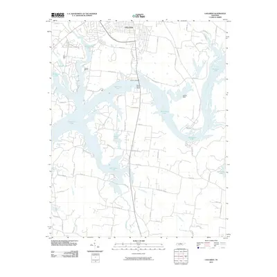
2010 Map of Laguardo
USGS Topo · Published 2010About this map
Old Hickory Lake dominates this landscape, its sprawling waters defining the geography south of Gallatin. This 2010 topographic representation details a region shaped by modern infrastructure and suburban expansion, where the Martha Gallatin Bridge serves as a critical connection across the water. The map documents the intricate shoreline and recreational developments like Gallatin Marina and Gallatin Landing, which replaced the older river-crossing points of the past.
Find a feature on this map
61 named features on this map. Tap any name to fly to it.
Don’t see what you’re looking for? This feature index may not catch every label — zoom into the map to look around manually.
Map Details
Editions of this 2010 Laguardo Map
This is the sole edition of this map. No revisions or reprints were ever made.
Other maps of this area

1903 · Nashville
USGS Topo · 1:125,000

1932 · Hermitage
USGS Topo · 1:62,500

1942 · Gallatin
USGS Topo · 1:100,000

1942 · Lebanon
USGS Topo · 1:100,000

1951 · Lebanon
USGS Topo · 1:24,000

1951 · Martha
USGS Topo · 1:24,000

1952 · Hendersonville
USGS Topo · 1:24,000

1952 · Hermitage
USGS Topo · 1:24,000

1953 · Cottontown
USGS Topo · 1:24,000

1955 · Bethpage
USGS Topo · 1:24,000