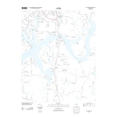
2013 Map of Laguardo
USGS Topo · Published 2013About this map
The Cumberland River carves a sweeping path through this Sumner County landscape, defining the boundaries of Odoms Bend and feeding a complex network of waterways. Small settlements like Laguardo and Cedar Grove anchor the interior, connected by a maturing grid of residential roads such as Coles Ferry Rd and Airport Rd. The map illustrates the region's transition into a modern suburban-rural mix, where historical drainage patterns like Station Camp Cr and Spencer Cr now interact with newer developments and smaller impoundments like Ackers Lake and L A Green Lake.
Find a feature on this map
183 named features on this map. Tap any name to fly to it.
Don’t see what you’re looking for? This feature index may not catch every label — zoom into the map to look around manually.
Map Details
Editions of this 2013 Laguardo Map
This is the sole edition of this map. No revisions or reprints were ever made.
Other maps of this area

1903 · Nashville
USGS Topo · 1:125,000

1932 · Hermitage
USGS Topo · 1:62,500

1942 · Gallatin
USGS Topo · 1:100,000

1942 · Lebanon
USGS Topo · 1:100,000

1951 · Lebanon
USGS Topo · 1:24,000

1951 · Martha
USGS Topo · 1:24,000

1952 · Hendersonville
USGS Topo · 1:24,000

1952 · Hermitage
USGS Topo · 1:24,000

1953 · Cottontown
USGS Topo · 1:24,000

1955 · Bethpage
USGS Topo · 1:24,000