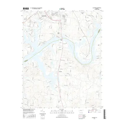
2016 Map of Laguardo
USGS Topo · Published 2016About this map
Gallatin serves as a primary hub on the northern edge of this survey, where the suburban landscape meets the winding waters of the Cumberland River. The river forms a complex series of loops and peninsulas, most notably Odoms Bend and Cairo Bend, which define the boundary between Sumner and Wilson counties. Infrastructure developments like the Martha Gallatin Bridge and the Sumner County Regional Airport are central to the area's modern identity, while the campus of Volunteer State Community Coll sits on the western outskirts of the city.
Find a feature on this map
143 named features on this map. Tap any name to fly to it.
Don’t see what you’re looking for? This feature index may not catch every label — zoom into the map to look around manually.
Map Details
Editions of this 2016 Laguardo Map
This is the sole edition of this map. No revisions or reprints were ever made.
Other maps of this area

1903 · Nashville
USGS Topo · 1:125,000

1932 · Hermitage
USGS Topo · 1:62,500

1942 · Gallatin
USGS Topo · 1:100,000

1942 · Lebanon
USGS Topo · 1:100,000

1951 · Lebanon
USGS Topo · 1:24,000

1951 · Martha
USGS Topo · 1:24,000

1952 · Hendersonville
USGS Topo · 1:24,000

1952 · Hermitage
USGS Topo · 1:24,000

1953 · Cottontown
USGS Topo · 1:24,000

1955 · Bethpage
USGS Topo · 1:24,000