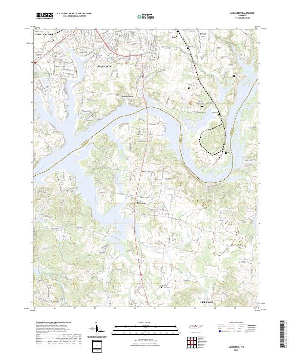
2022 Map of Laguardo
USGS Topo · Published 2022About this map
The Cumberland River carves a winding path through the heart of this landscape, separating the southern outskirts of Gallatin in Sumner County from the rural reaches of Wilson County. The terrain is defined by dramatic river meanders, most notably Odoms Bend and Cairo Bend, which have shaped local settlement patterns and road networks like Cole's Ferry Rd. To the north, the urban expansion of Gallatin is anchored by Volunteer State Community College and the Music City Executive Airport, while the southern side of the river retains a more dispersed character centered around the community of Laguardo. Genealogists will find a high density of family and community burial sites, including the Vinson Family Cem, Newton Cem, and the Franklin Chapel Baptist Church Cem. The map captures the complex interaction between modern transportation corridors and the historical significance of the river as both a barrier and a resource, evidenced by numerous named branches like Lone Branch and Little Cr feeding into the main channel.
Find a feature on this map
177 named features on this map. Tap any name to fly to it.
Don’t see what you’re looking for? This feature index may not catch every label — zoom into the map to look around manually.
Map Details
Editions of this 2022 Laguardo Map
This is the sole edition of this map. No revisions or reprints were ever made.
Historical Maps of Gallatin Through Time
16 maps found
1951 Martha
Wilson County, TN
1955 Hunters Point
Wilson County, TN
1955 Laguardo
Wilson County, TN
1956 Vine
Wilson County, TN
1958 Bellwood
Wilson County, TN
1958 Shop Springs
Wilson County, TN
1994 Bellwood
Wilson County, TN
1994 Hunters Point
Wilson County, TN
1994 Shop Springs
Wilson County, TN
1994 Vine
Wilson County, TN
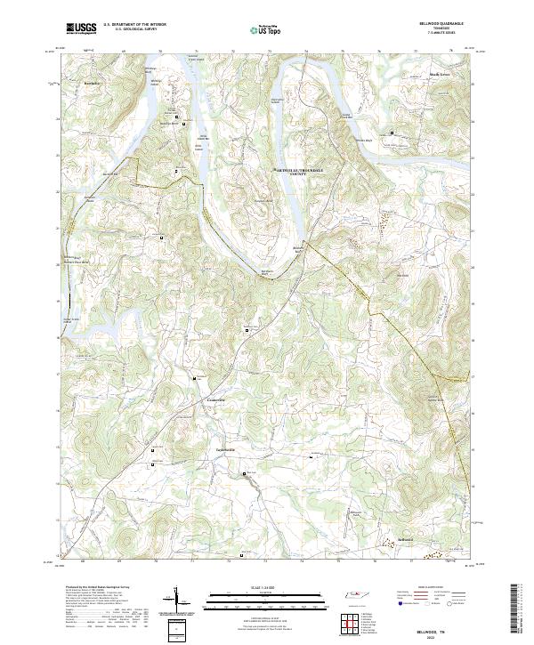
2022 Bellwood
Wilson County, TN
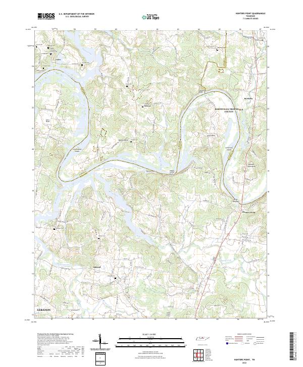
2022 Hunters Point
Wilson County, TN
2022 Laguardo
Wilson County, TN
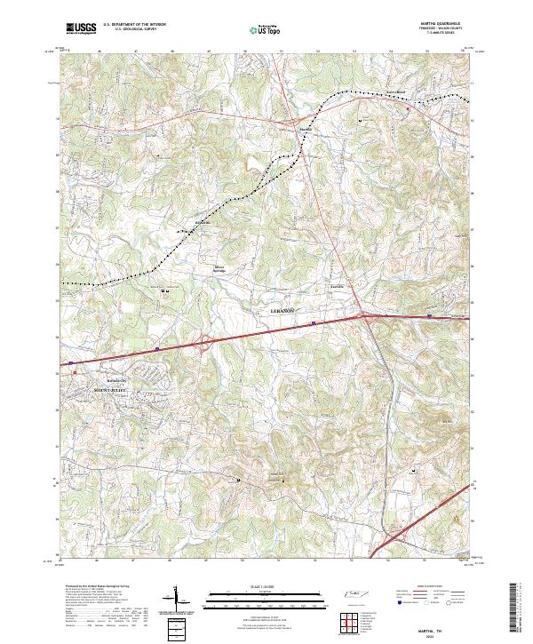
2022 Martha
Wilson County, TN
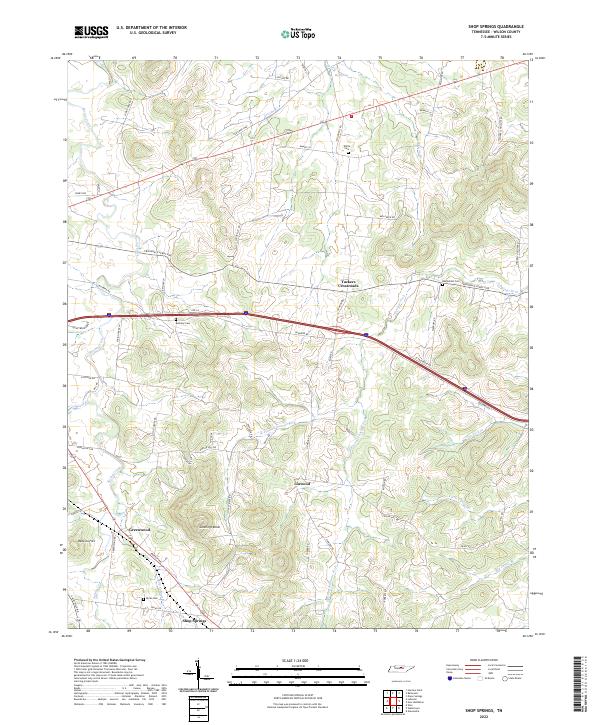
2022 Shop Springs
Wilson County, TN
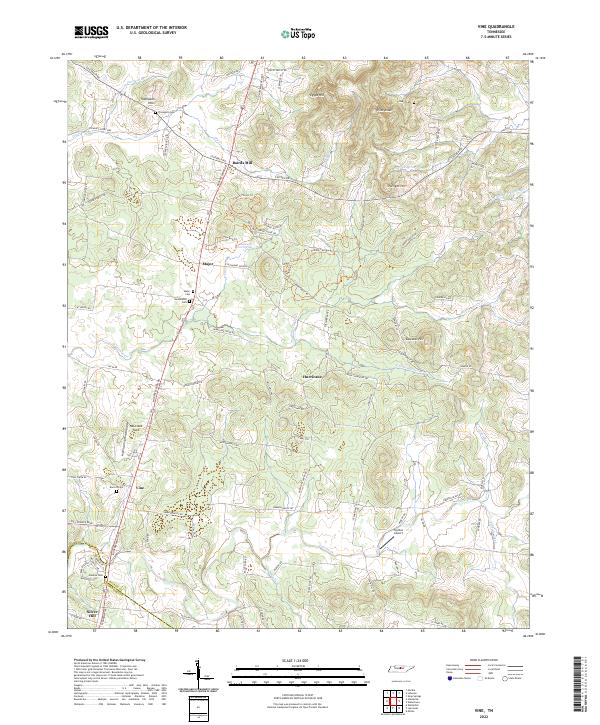
2022 Vine
Wilson County, TN