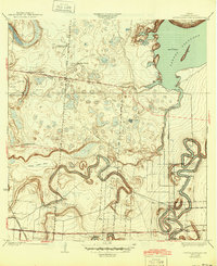
1936 Map of Laguna Atascosa
USGS Topo · Published 1945About this map
The coastal brushland and marsh of Cameron County are dominated by the expansive Laguna Atascosa and the winding, serpentine oxbows of the Resaca de los Fresnos. This landscape, surveyed in the early 1930s, reveals a network of established family-named cattle holdings such as El Alazan Ranch, San Pedro Ranch, and La Tina Ranch, which define the region's rural economy. The presence of these ranches alongside the Cross Lake Bed suggests a terrain that was intensely managed around the seasonal availability of water.
Find a feature on this map
21 named features on this map. Tap any name to fly to it.
Don’t see what you’re looking for? This feature index may not catch every label — zoom into the map to look around manually.
Map Details
Editions of this 1936 Laguna Atascosa Map
2 editions found
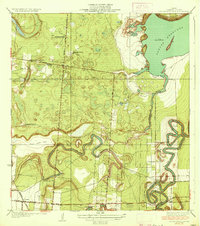
Other maps of this area

1929 · Rio Hondo
USGS Topo · 1:24,000

1929 · La Coma
USGS Topo · 1:24,000

1929 · Buena Vista
USGS Topo · 1:24,000

1929 · Laguna Vista
USGS Topo · 1:24,000

1930 · Los Fresnos
USGS Topo · 1:24,000

1930 · Barreda
USGS Topo · 1:24,000

1930 · La Leona
USGS Topo · 1:24,000

1930 · Laguna Atascosa
USGS Topo · 1:24,000

1932 · Rio Hondo
USGS Topo · 1:31,680

1933 · Paso Real
USGS Topo · 1:31,680
Featured Places
- Bayview, TX
- Lourdes Street Colonia, TX
- Esquina Colonia, TX
- Arroyo Gardens Number 2 Colonia, TX
- La Tina, TX