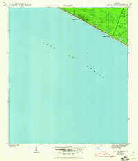
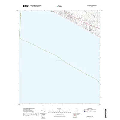
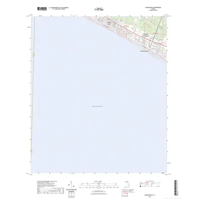
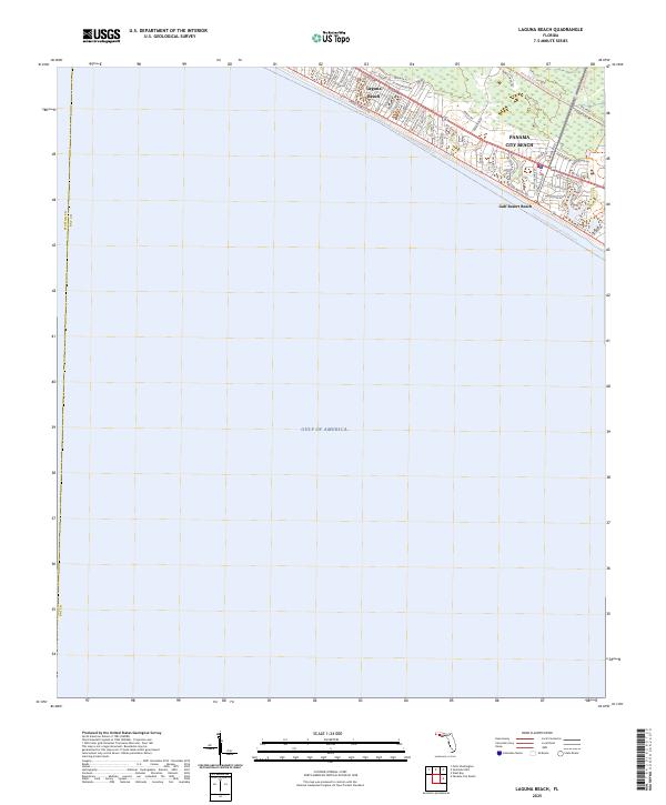
1943 Map of Laguna Beach
USGS Topo · Published 1960About this map
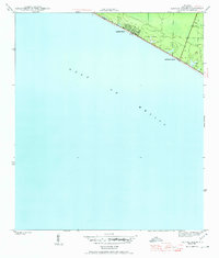
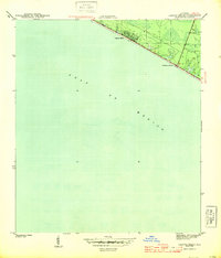
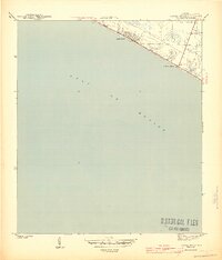
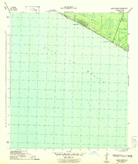
Laguna Beach and the adjacent Gulf Resort Beach characterize this coastal survey, documented just as World War II-era military presence influenced the Florida panhandle. The map, based on a 1943 survey by Lee Morrison, shows the nascent development of these seaside communities along the white sands of the Gulf of Mexico. Beyond the immediate shoreline settlements, the interior remains largely undeveloped, defined by low-lying wetlands and intermittent marshes. This specific moment in the mid-1940s captures the region before the massive post-war boom transformed these quiet beach outposts into a continuous stretch of coastal tourism. The sparse layout of roads and structures provides a clear view of the original footprint of these settlements before they were subsumed by modern expansion.
Find a feature on this map
3 named features on this map. Tap any name to fly to it.
Don’t see what you’re looking for? This feature index may not catch every label — zoom into the map to look around manually.
Map Details
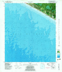
Editions of this 1943 Laguna Beach Map
5 editions found
Historical Maps of Panama City Beach Through Time
8 maps found

Featured Locations
- Bay County, FL
- Walton County, FL
- Panama City Beach, FL
- Laguna Beach, FL
- Gulf Resort Beach, Panama City Beach