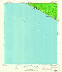
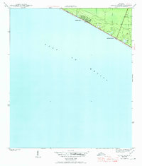
1943 Map of Laguna Beach
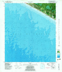
USGS Topo · Published 1960About this map
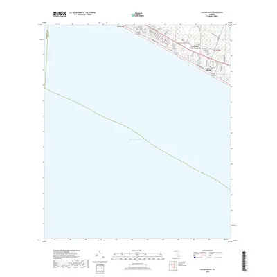
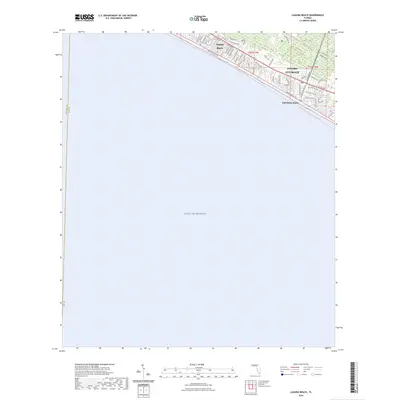
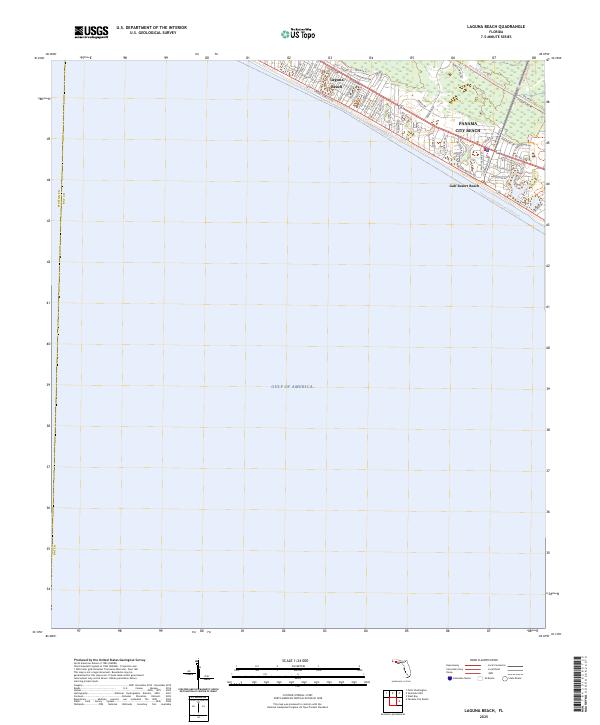
Laguna Beach and Gulf Resort Beach anchor this coastal survey, reflecting the early development of the Florida Panhandle during the mid-twentieth century. The map depicts a simple grid of early seaside streets along the Gulf of Mexico, before the era of massive high-rise developments. This landscape, surveyed in 1943 by Lee Morrison, shows the nascent road network and small coastal clusters that would eventually evolve into the modern vacation corridor of Bay County. The layout highlights the transition from natural shoreline to a burgeoning seasonal community, preserving the footprint of these resort areas as they stood just after the onset of the 1940s.
Find a feature on this map
3 named features on this map. Tap any name to fly to it.
Don’t see what you’re looking for? This feature index may not catch every label — zoom into the map to look around manually.
Map Details
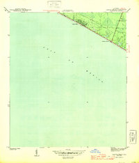
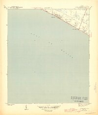
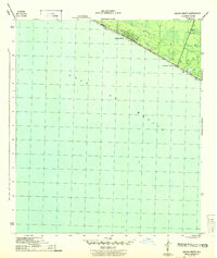
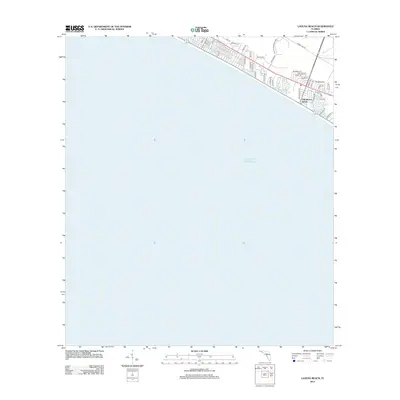
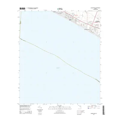
Editions of this 1943 Laguna Beach Map
5 editions found
Historical Maps of Panama City Beach Through Time
8 maps found

Featured Locations
- Bay County, FL
- Walton County, FL
- Panama City Beach, FL
- Laguna Beach, FL
- Gulf Resort Beach, Panama City Beach