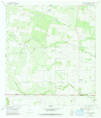
1969 Map of Laguna Del Toro
USGS Topo · Published 1991About this map
Wind-powered ranching and oil extraction define this South Texas landscape along the border of Duval Co and Brooks Co. The 1969 terrain is marked by an extensive network of named water sources and windmills, including Cibolo Windmill, Laborcitas Windmill, and Rancho Viejo Windmill, supporting operations like Cibolo Ranch. These landmarks, along with many Flowing Wells, reflect the critical importance of water management in this arid region.
Find a feature on this map
35 named features on this map. Tap any name to fly to it.
Don’t see what you’re looking for? This feature index may not catch every label — zoom into the map to look around manually.
Map Details
Editions of this 1969 Laguna Del Toro Map
2 editions found
Other maps of this area

1921 · Falfurrias
USGS Topo · 1:125,000

1956 · Laredo
USGS Topo · 1:250,000

1963 · Premont West
USGS Topo · 1:24,000

1963 · Falfurrias
USGS Topo · 1:24,000
1963 · Seeligson Ranch
USGS Topo · 1:24,000

1968 · Palomas Ranch NW
USGS Topo · 1:24,000

1968 · Concepcion
USGS Topo · 1:24,000

1968 · Concepcion NW
USGS Topo · 1:24,000

1968 · Palomas Ranch
USGS Topo · 1:24,000
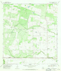
1969 · Laguna Del Toro
USGS Topo · 1:24,000