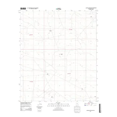
2013 Map of Laguna Gatuna NW
USGS Topo · Published 2013About this map
Querecho Plains dominates the topography of this high desert landscape, which is defined by an extensive network of energy extraction sites. The industrial character of the region in the early 21st century is evident through the widespread distribution of petroleum infrastructure, including the Corbin Oil Field and the South Corbin Oil and Gas Field in the northern sections. Farther south, the map documents a cluster of related operations at the West Tonto Oil Field, Tonto Oil Field, and South Tonto Oil Field. Amidst these active industrial zones, the Smith Ranch stands as a notable human landmark in the southeastern corner, representing the enduring legacy of ranching in a territory now largely dedicated to mineral production. The grid-like survey lines and access roads illustrate the systematic development of the Permian Basin's resource-rich terrain.
Find a feature on this map
11 named features on this map. Tap any name to fly to it.
Don’t see what you’re looking for? This feature index may not catch every label — zoom into the map to look around manually.
Map Details
Editions of this 2013 Laguna Gatuna NW Map
This is the sole edition of this map. No revisions or reprints were ever made.
Other maps of this area

1942 · Clayton Basin
USGS Topo · 1:62,500

1943 · Clayton Basin
USGS Topo · 1:62,500

1954 · Hobbs
USGS Topo · 1:250,000

1958 · Hobbs
USGS Topo · 1:250,000

1962 · Buckeye
USGS Topo · 1:62,500

1963 · Laguna Gatuna
USGS Topo · 1:62,500

1963 · Maljamar
USGS Topo · 1:62,500

1984 · Lea
USGS Topo · 1:24,000

1984 · Ironhouse Well
USGS Topo · 1:24,000

1984 · Laguna Gatuna NW
USGS Topo · 1:24,000