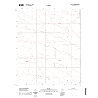
2023 Map of Laguna Gatuna NW
USGS Topo · Published 2023About this map
The high desert terrain of Lea County, New Mexico, is characterized here by intricate topographic contours and the grid-based boundaries of the Public Land Survey System. Traversing the southeast corner of this section of the Permian Basin, Smith Ranch Rd provides the primary access route through a landscape defined by townships t18s r32e, t18s r33e, t19s r32e, and t19s r33e. The map illustrates the specialized surveying required for the energy-rich southeastern plains, where the land is partitioned into a precise geometric network. The lack of traditional town centers highlights the rural, industrial, or ranching character of this specific region during the early twenty-first century.
Find a feature on this map
5 named features on this map. Tap any name to fly to it.
Don’t see what you’re looking for? This feature index may not catch every label — zoom into the map to look around manually.
Map Details
Editions of this 2023 Laguna Gatuna NW Map
This is the sole edition of this map. No revisions or reprints were ever made.
Other maps of this area

1942 · Clayton Basin
USGS Topo · 1:62,500

1943 · Clayton Basin
USGS Topo · 1:62,500

1954 · Hobbs
USGS Topo · 1:250,000

1958 · Hobbs
USGS Topo · 1:250,000

1962 · Buckeye
USGS Topo · 1:62,500

1963 · Laguna Gatuna
USGS Topo · 1:62,500

1963 · Maljamar
USGS Topo · 1:62,500

1984 · Lea
USGS Topo · 1:24,000

1984 · Ironhouse Well
USGS Topo · 1:24,000

1984 · Laguna Gatuna NW
USGS Topo · 1:24,000