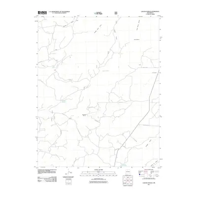
2011 Map of Laguna Gurule
USGS Topo · Published 2011About this map
Laguna Gurule sits at the heart of this high-desert landscape in Rio Arriba County, where the topography is defined by a complex network of cañadas and arroyos. The map reveals a sparsely populated region characterized by traditional land use, anchored by the small settlement of Hooten and seasonal water sources like Oso Tank and Laguna Jacquez. The terrain rises toward distinctive landforms such as Questecita Blanca and the evocative Horse Heaven plateau, while the southern boundary is marked by the winding Cañon de Chavez.
Find a feature on this map
27 named features on this map. Tap any name to fly to it.
Don’t see what you’re looking for? This feature index may not catch every label — zoom into the map to look around manually.
Map Details
Editions of this 2011 Laguna Gurule Map
This is the sole edition of this map. No revisions or reprints were ever made.
Other maps of this area

1889 · Largo
USGS Topo · 1:250,000

1895 · Largo
USGS Topo · 1:250,000

1909 · Gallina
USGS Topo · 1:125,000

1940 · Cuba
USGS Topo · 1:62,500

1943 · Cuba
USGS Topo · 1:62,500

1954 · Aztec
USGS Topo · 1:250,000

1955 · Llaves
USGS Topo · 1:62,500

1958 · Aztec
USGS Topo · 1:250,000

1962 · Aztec
USGS Topo · 1:250,000

1963 · Lindrith
USGS Topo · 1:24,000