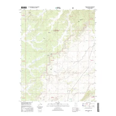
2017 Map of Laguna Gurule
USGS Topo · Published 2017About this map
Santa Fe National Forest dominates the high-altitude landscape of Rio Arriba County in this 2017 survey, characterized by a complex network of canyons and seasonal water sources. The Continental Divide winds through the center of the sheet, acting as a topographic spine between the Oso Canyon and the Arroyo Blanco drainage system. Water is a defining element of this arid terrain, marked by several significant lagunas including Laguna Gurule, Laguna Jacquez, and Laguna Colorada. Local place names reflect a long history of land use and navigation, from the distinctively named Horse Heaven in the northeast corner to Cañada Jesus Maria and Cañada Simon. The map provides a precise record of the road network through this territory, including Co RD 385 and Co RD 391, which connect the scattered livestock tanks and geographic landmarks of the region.
Find a feature on this map
33 named features on this map. Tap any name to fly to it.
Don’t see what you’re looking for? This feature index may not catch every label — zoom into the map to look around manually.
Map Details
Editions of this 2017 Laguna Gurule Map
This is the sole edition of this map. No revisions or reprints were ever made.
Other maps of this area

1889 · Largo
USGS Topo · 1:250,000

1895 · Largo
USGS Topo · 1:250,000

1909 · Gallina
USGS Topo · 1:125,000

1940 · Cuba
USGS Topo · 1:62,500

1943 · Cuba
USGS Topo · 1:62,500

1954 · Aztec
USGS Topo · 1:250,000

1955 · Llaves
USGS Topo · 1:62,500

1958 · Aztec
USGS Topo · 1:250,000

1962 · Aztec
USGS Topo · 1:250,000

1963 · Lindrith
USGS Topo · 1:24,000