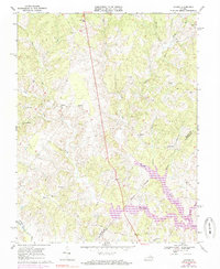
1968 Map of Lahore
USGS Topo · Published 1985About this map
Lahore and the rural crossroads of the Virginia Piedmont are documented here during a period of transition as the landscape prepared for the rising waters of the North Anna River valley. The survey captures the community structure of Orange County before the full impact of Lake Anna, showing the network of country churches like Kirk O'Cliff Ch and North Pamunkey Ch that anchored these farming settlements. Small hamlets such as Tatum, Danton, and Thornhill are mapped alongside local landmarks including Lightfoot Sch and the Antioch Ch Cem. The terrain is defined by a dense web of waterways, including Terrys Run, Pamunkey Creek, and Little Berry Creek, which carved the valleys of this historic agricultural region. The mapping of property lines and a significant Pipeline cutting through the center reveals the intersection of traditional land use with modern infrastructure developments in the late twentieth century.
Find a feature on this map
30 named features on this map. Tap any name to fly to it.
Don’t see what you’re looking for? This feature index may not catch every label — zoom into the map to look around manually.
Map Details
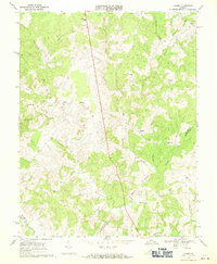
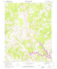
Editions of this 1968 Lahore Map
3 editions found
Other maps of this area

1887 · Spottsylvania
USGS Topo · 1:125,000

1892 · Spottsylvania
USGS Topo · 1:125,000

1892 · Gordonsville
USGS Topo · 1:125,000

1942 · Mineral
USGS Topo · 1:31,680

1942 · Lahore
USGS Topo · 1:31,680

1942 · Belmont
USGS Topo · 1:31,680

1942 · Contrary Creek
USGS Topo · 1:31,680

1943 · Mine Run
USGS Topo · 1:24,000

1943 · Unionville
USGS Topo · 1:24,000
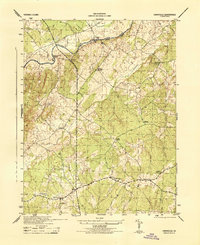
1944 · Unionville
USGS Topo · 1:31,680